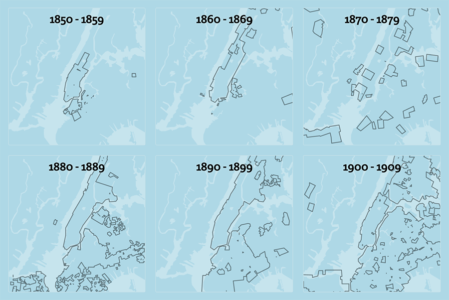
The NYC Space/Time Directory
NYC Space/Time Directory's main goal: make the Library's collections and NYC's history more accessible, through space and time
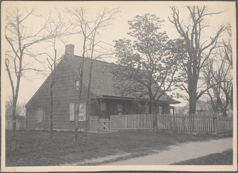
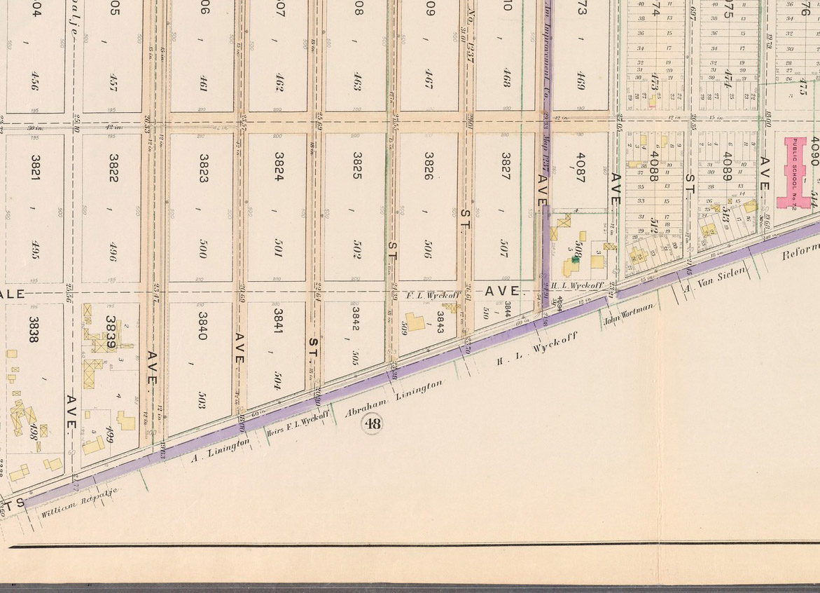
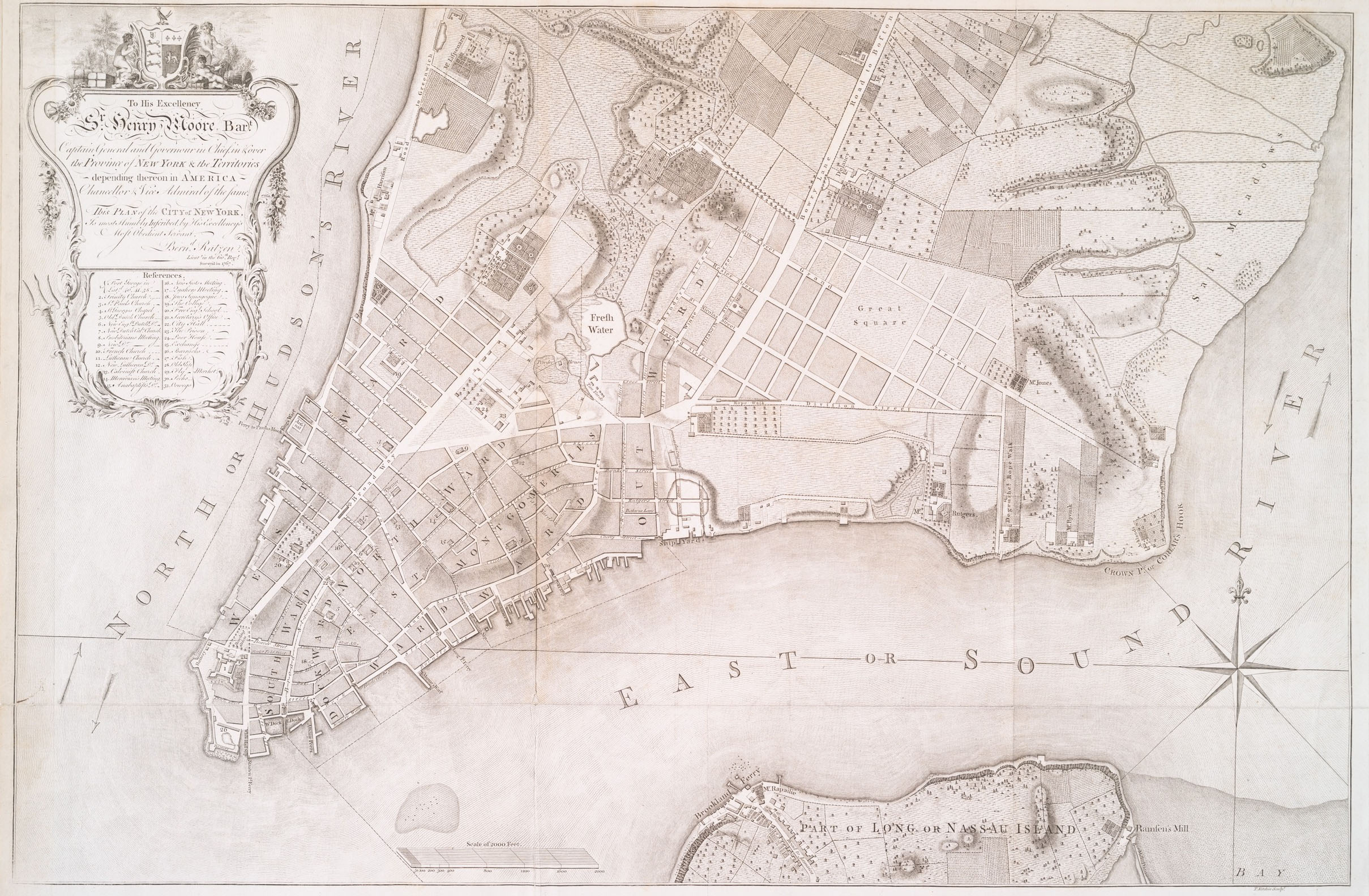
Example 1: Brooklyn's farms
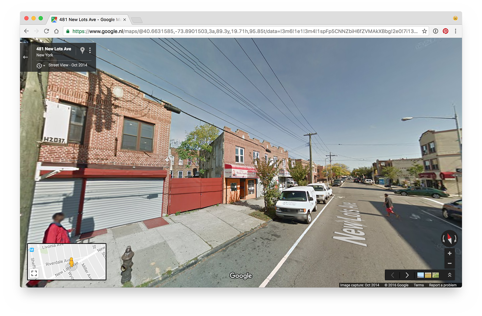
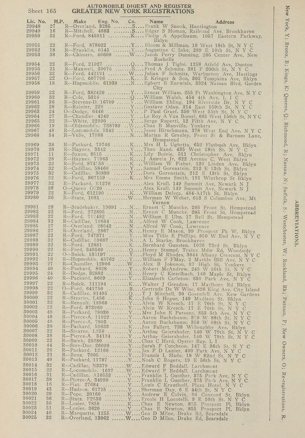
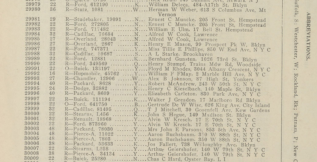
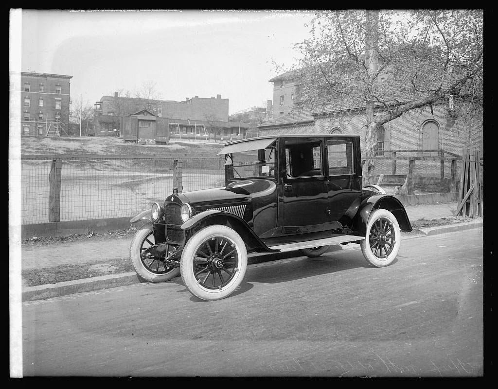
Example 2: cars
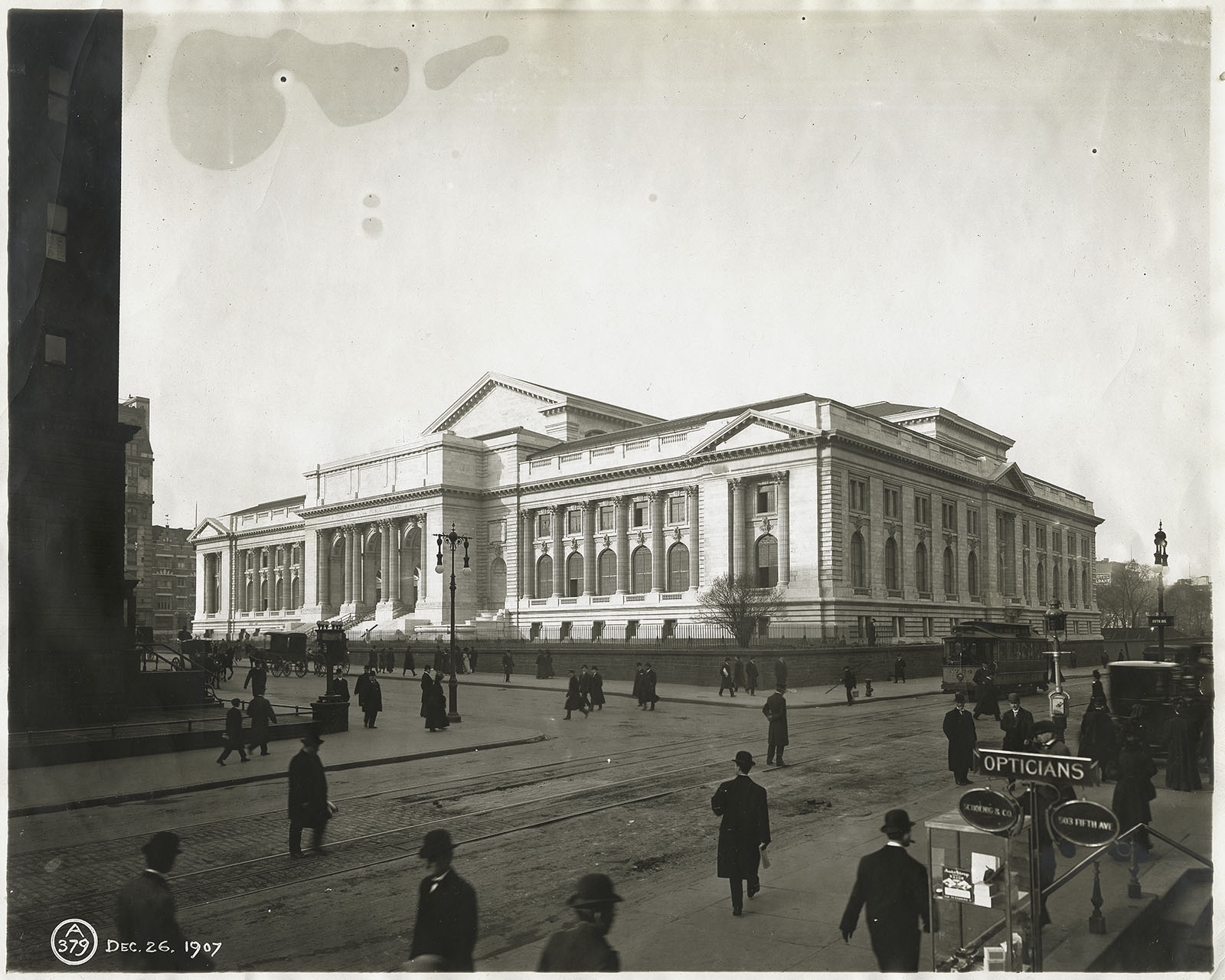
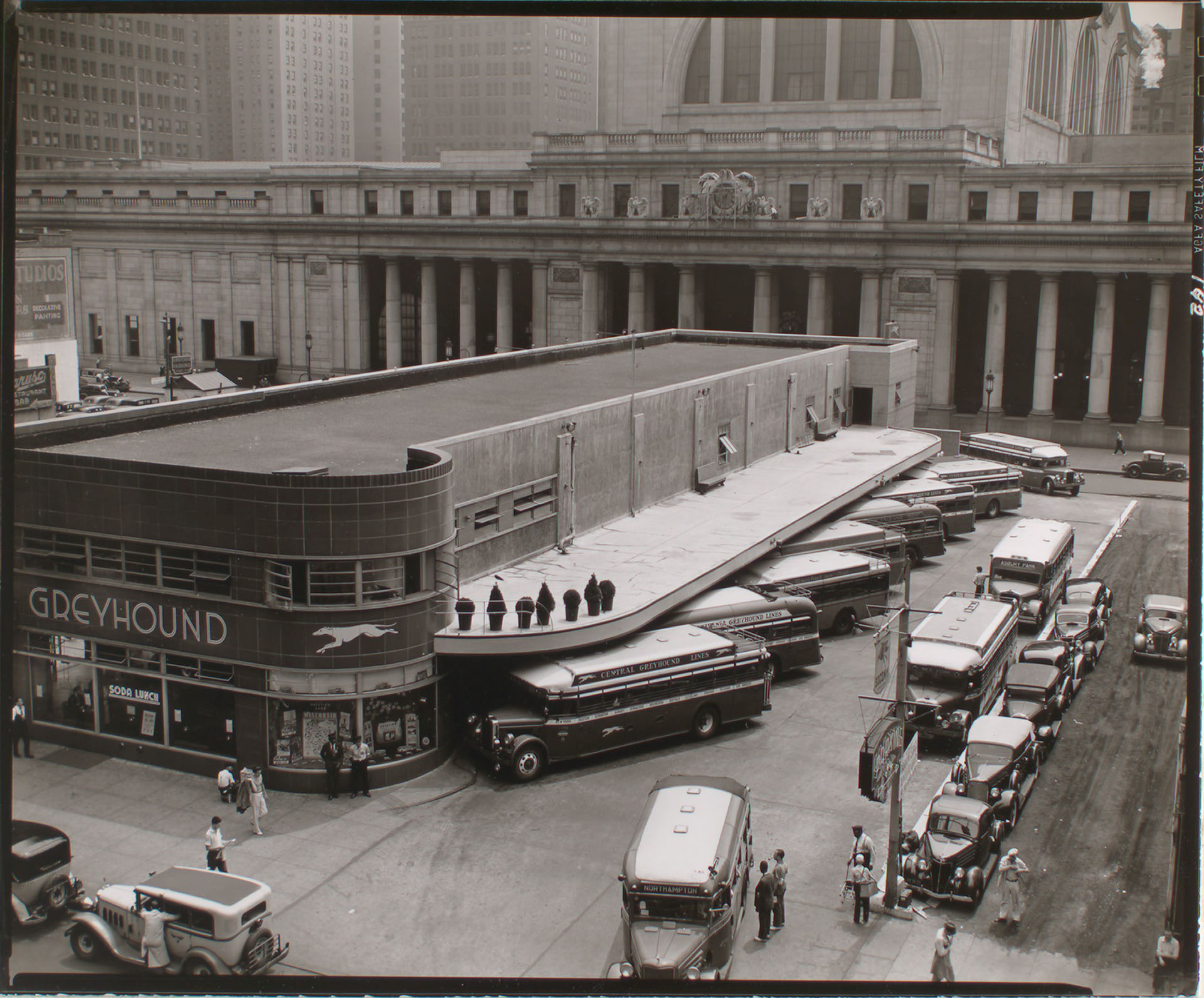
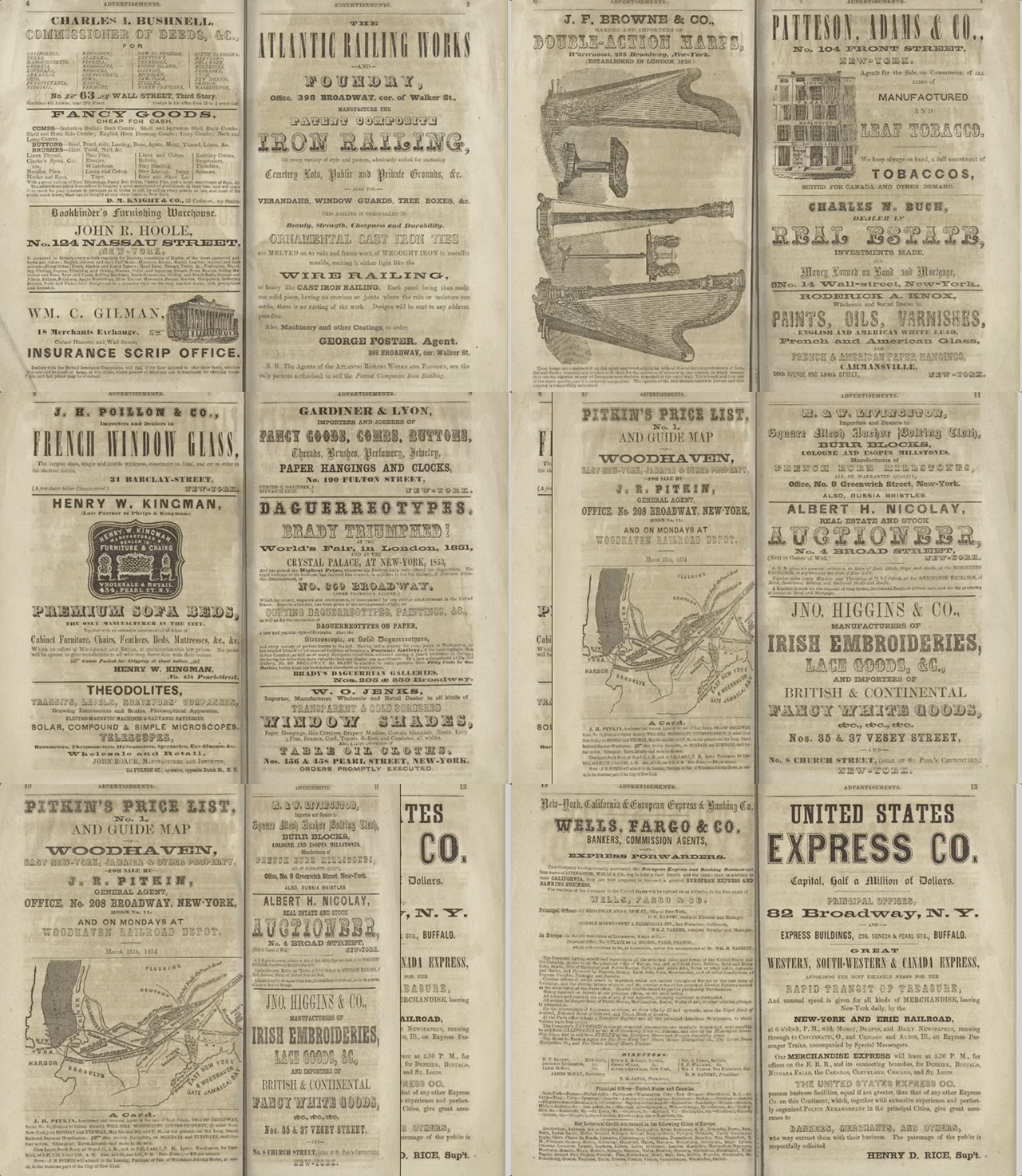
First step: the Libary's collection!
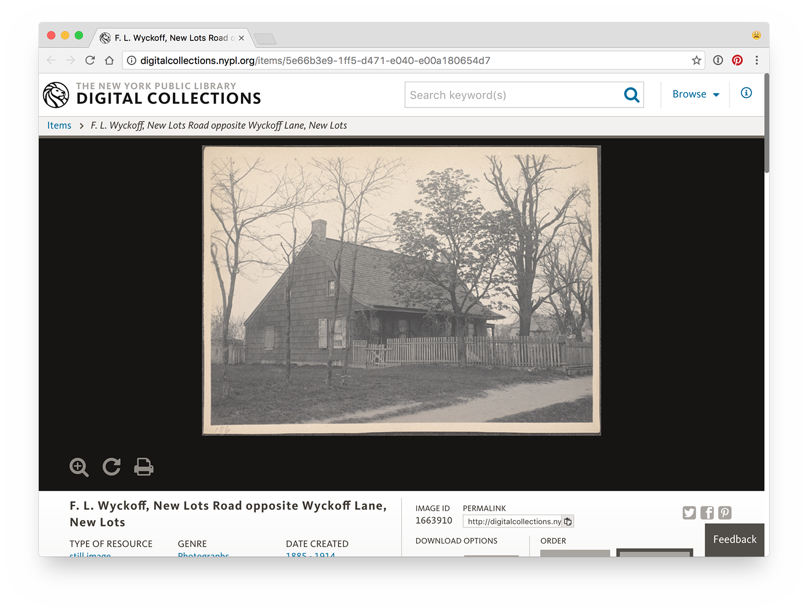
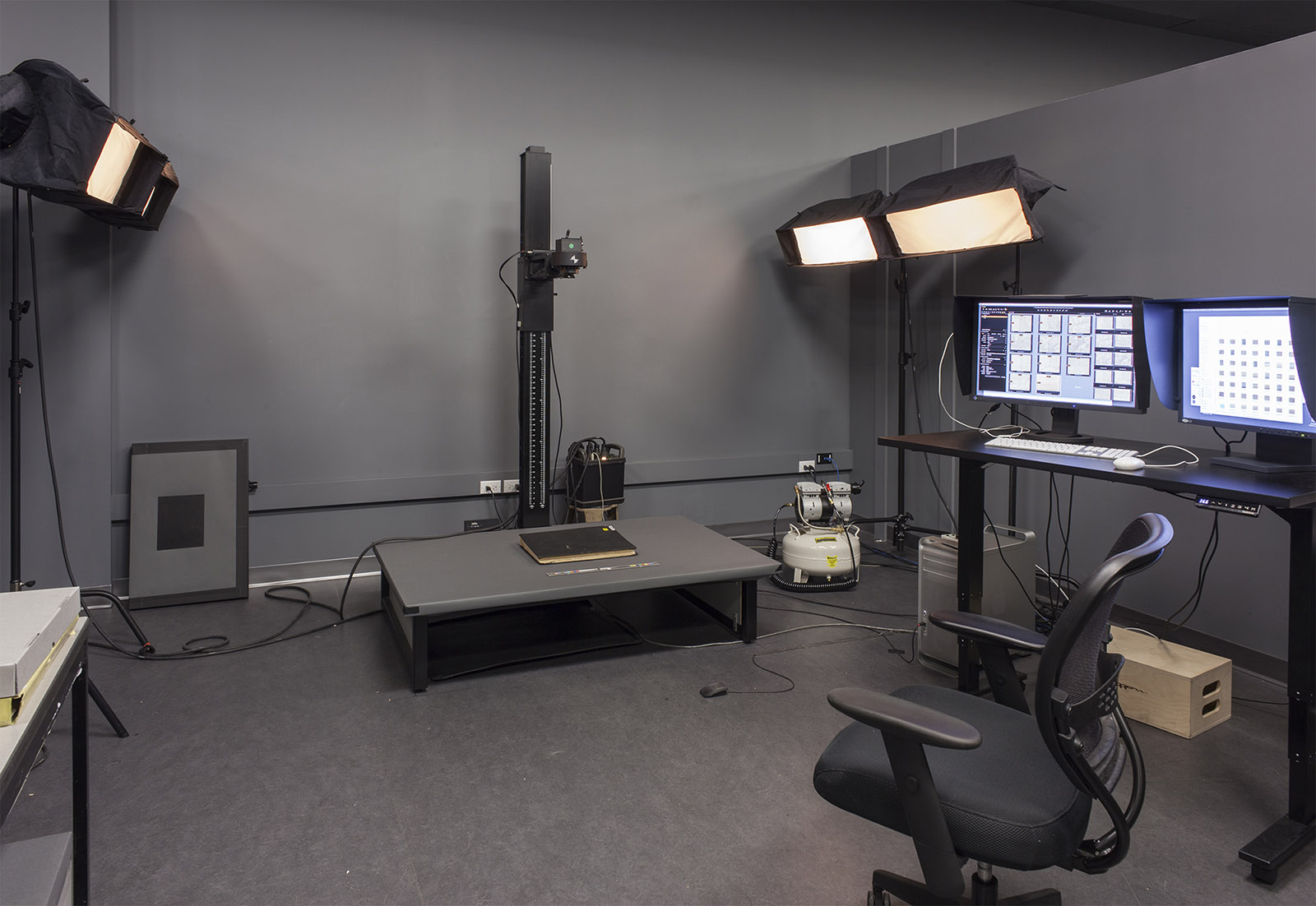
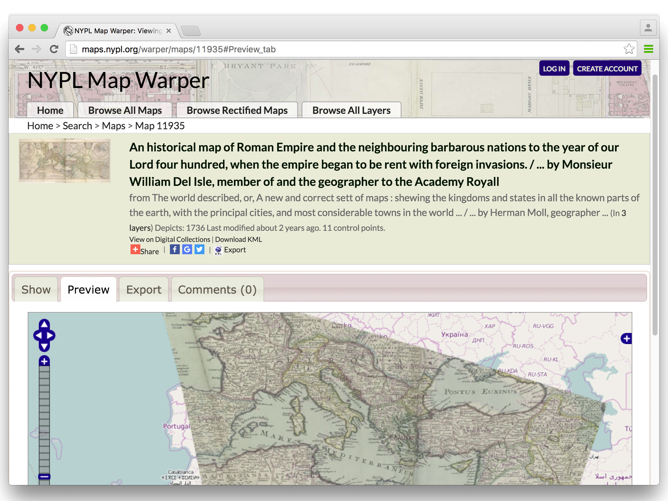
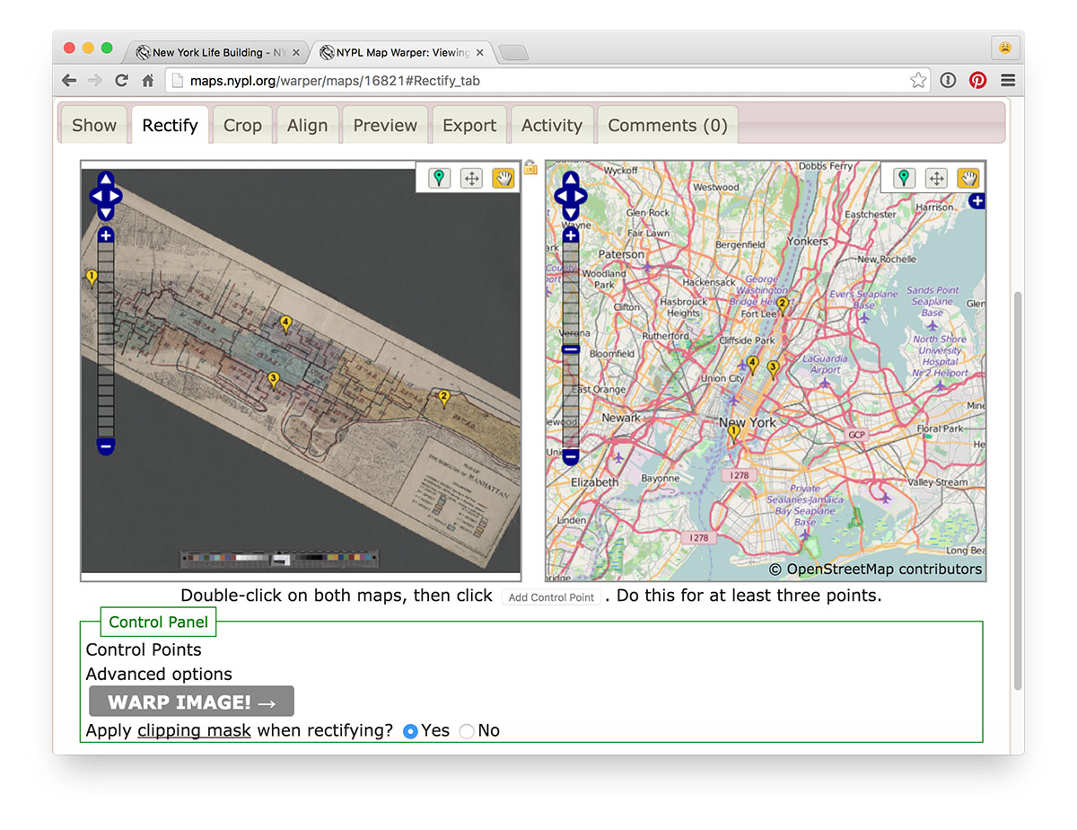
Second step: digitization!
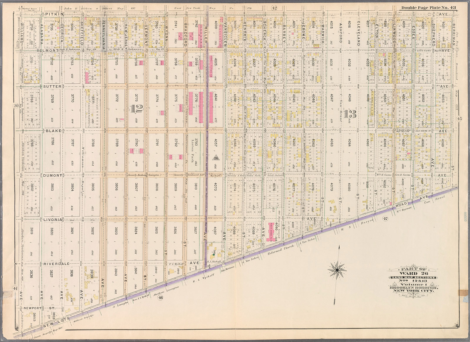
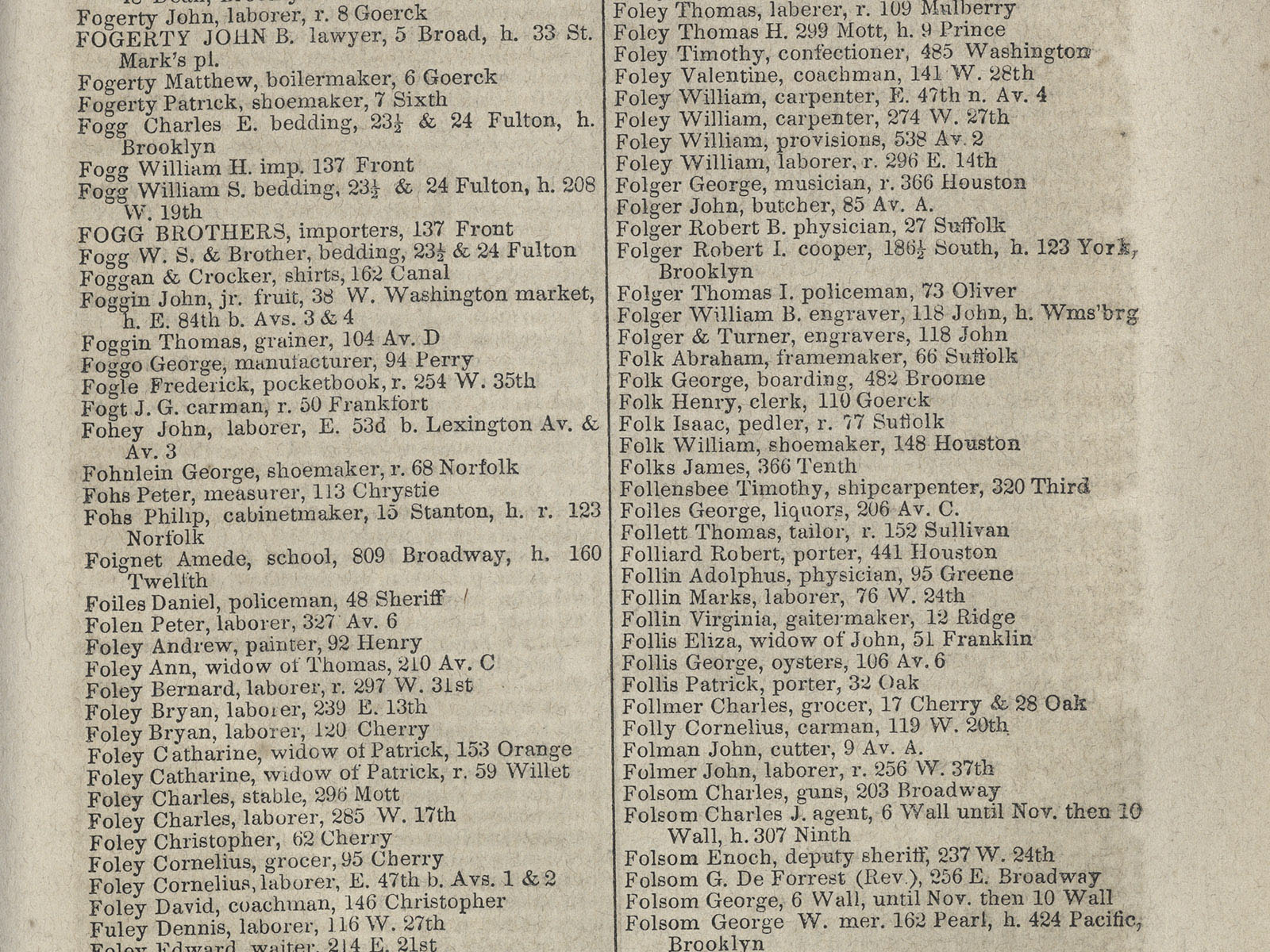
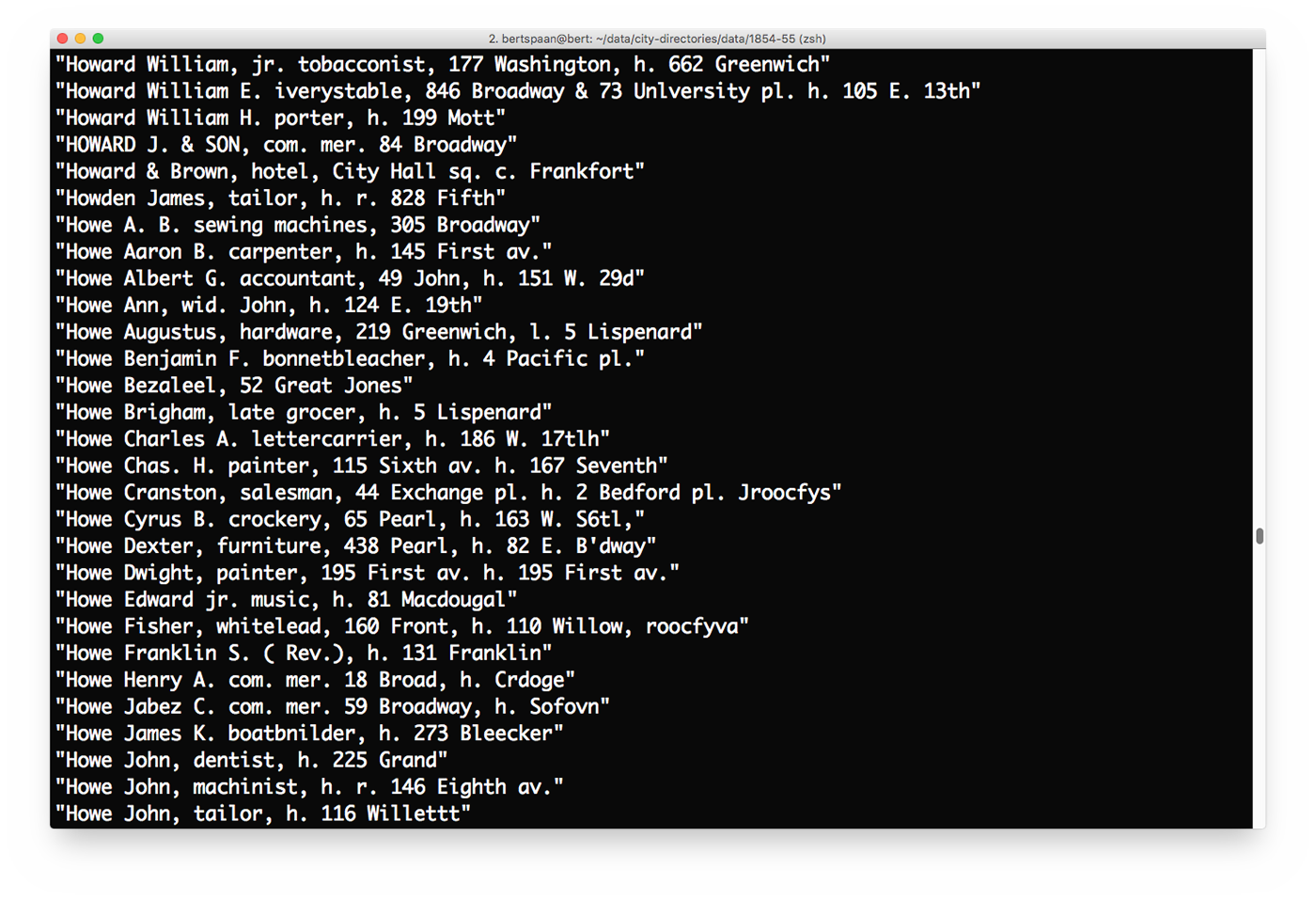
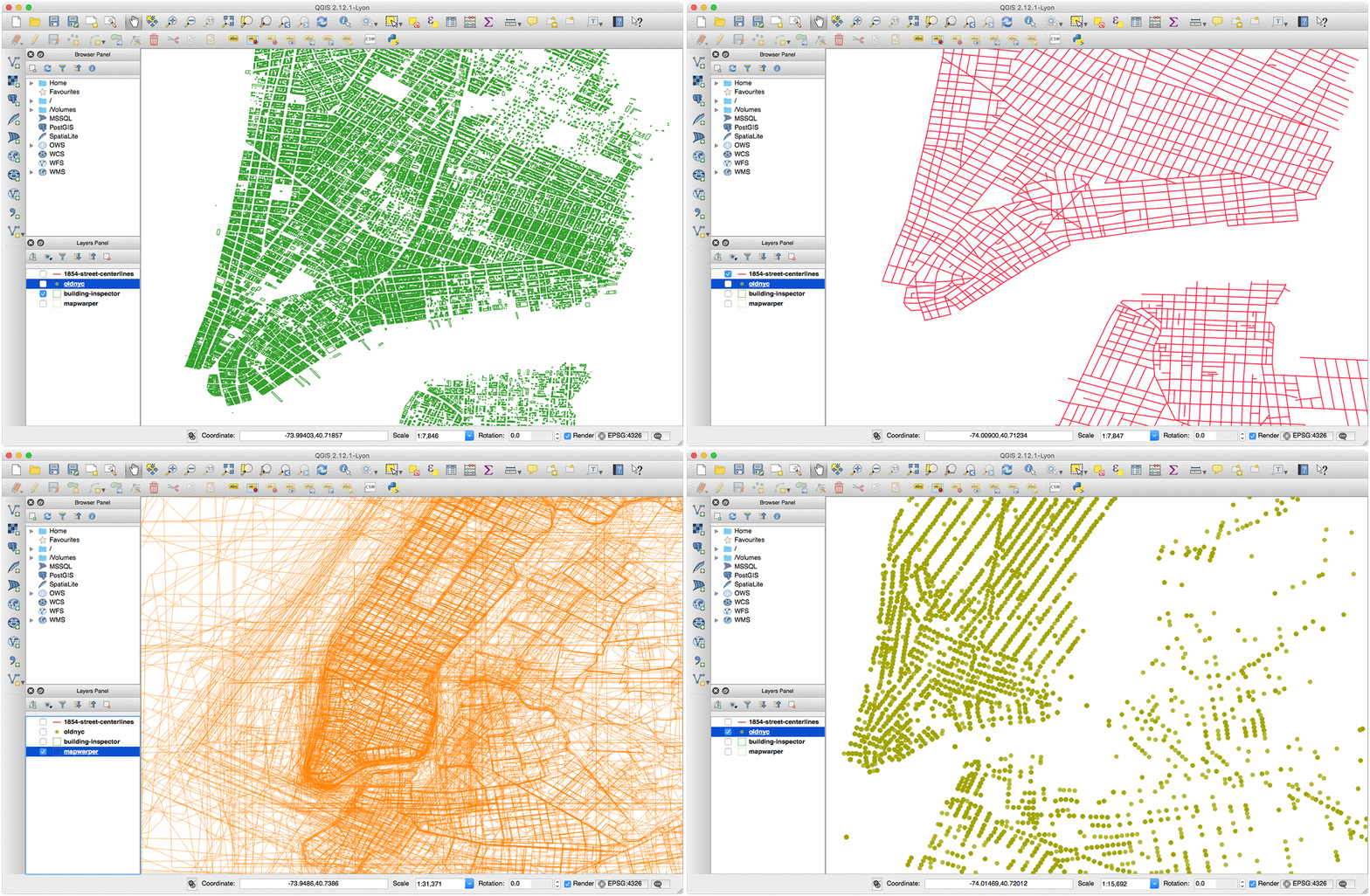
Third step: extract data!
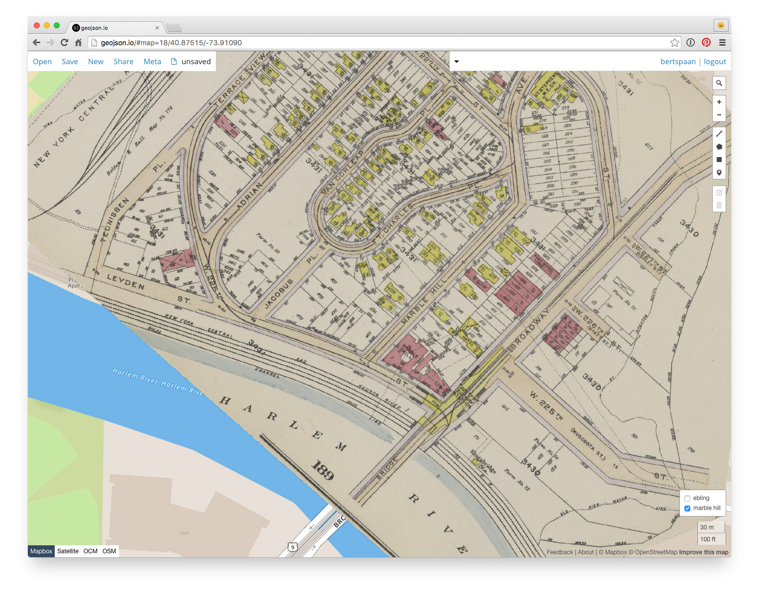
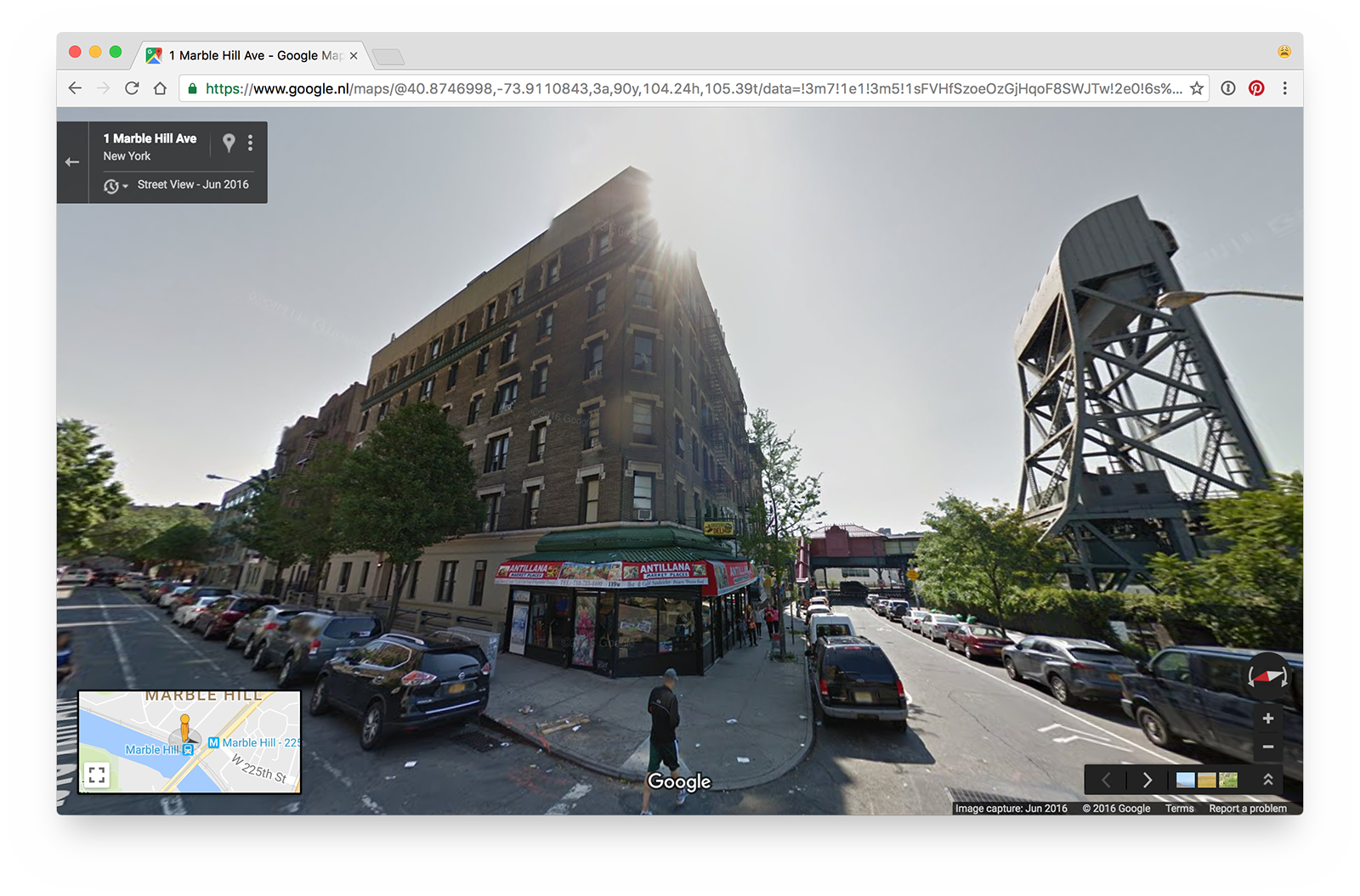
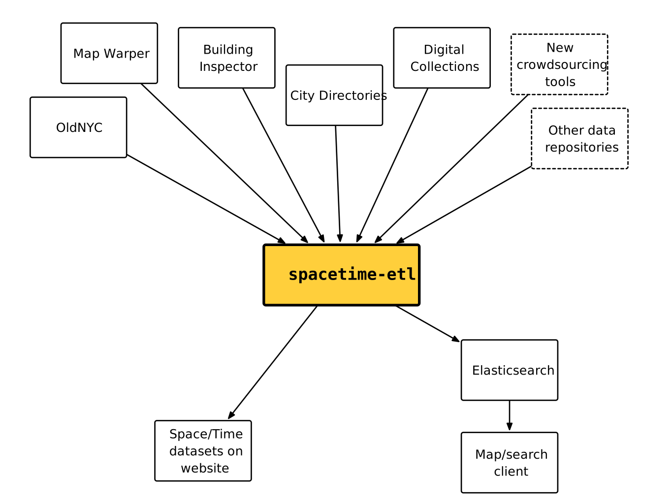
Fourth step: combining it all!
NYC Space/Time Directory = NYPL data + external datasets + databases +
APIs + search + geo + RDF + open source + digitization + crowdsourcing + community
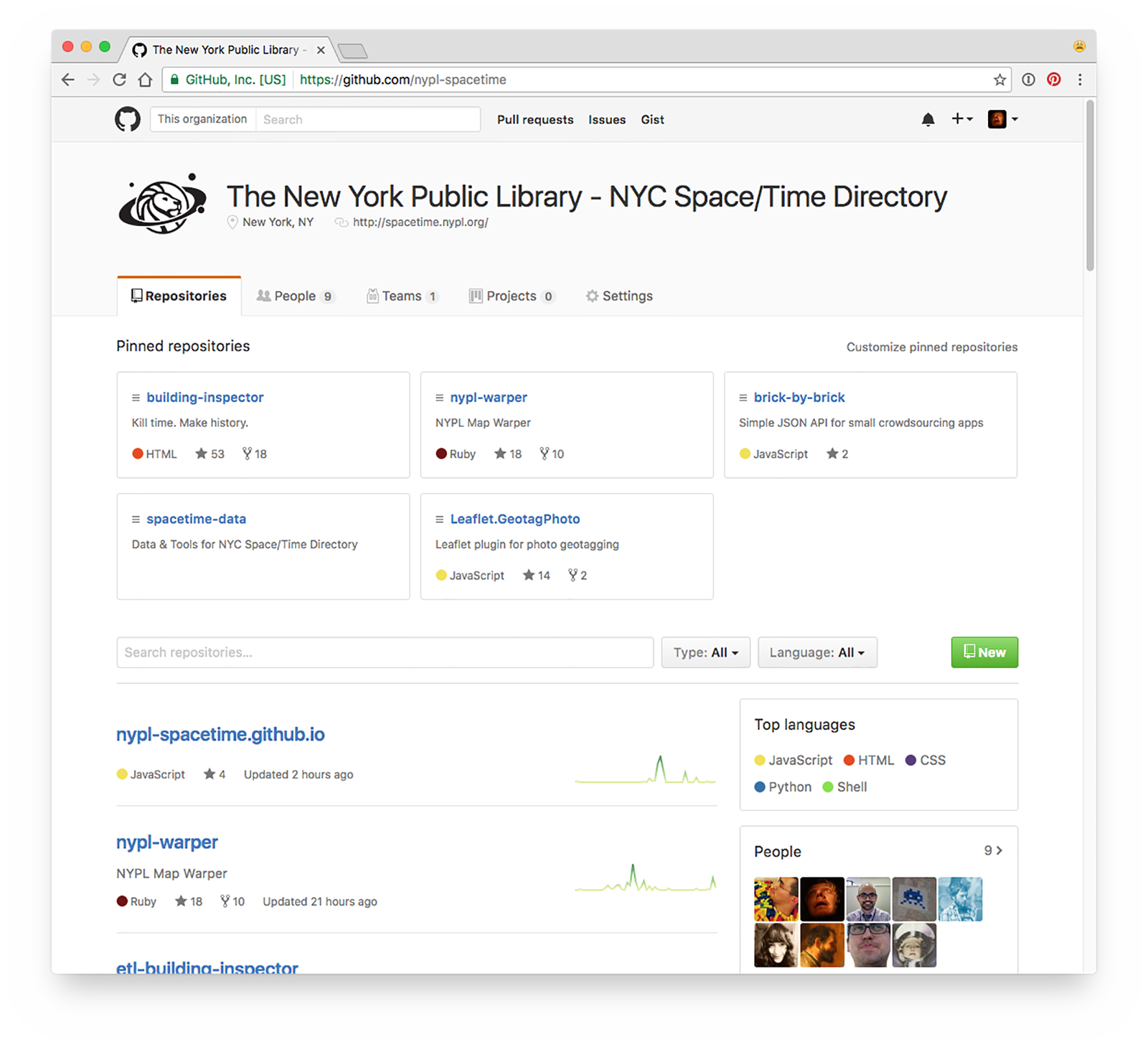
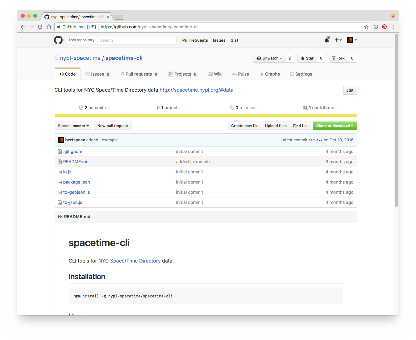
Goals: open data, search, open source tools, map viewers
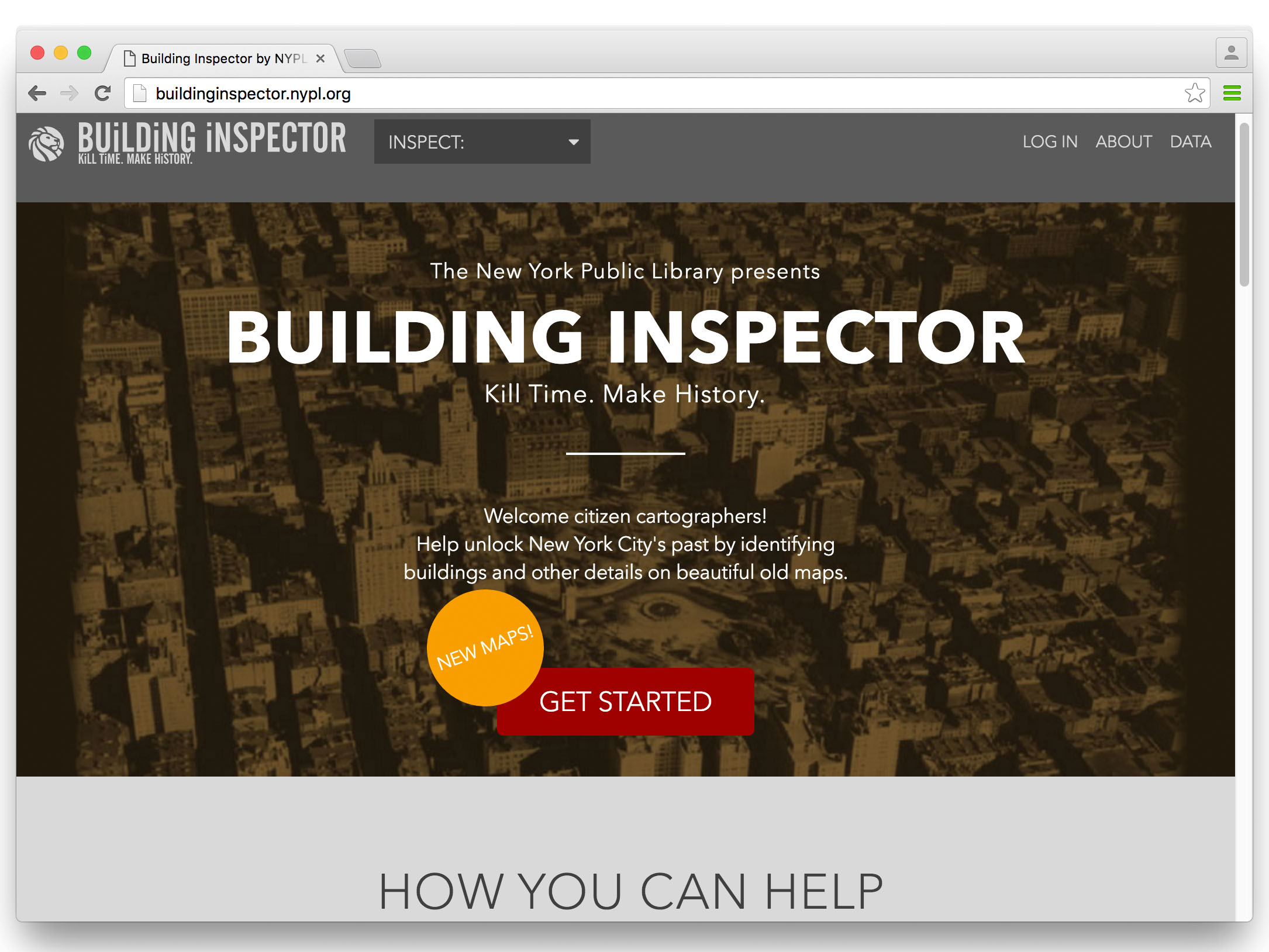
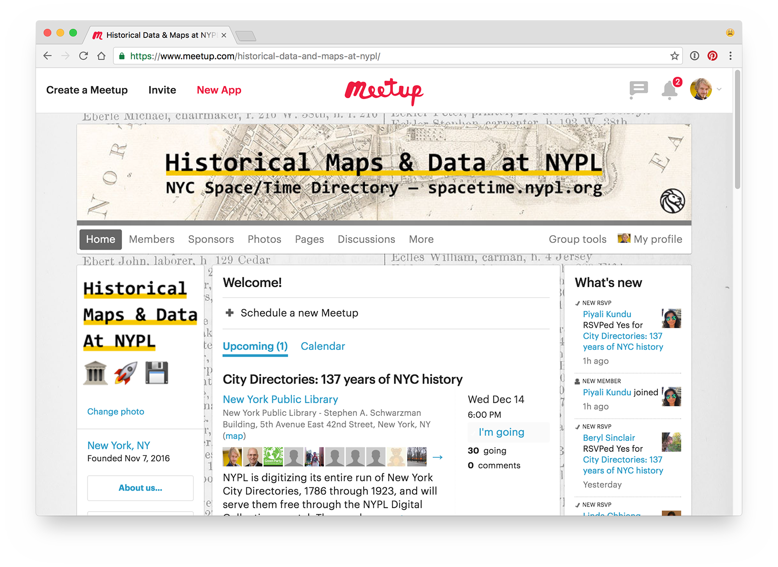
Fifth step: open data + community!
Sixth step: make things!
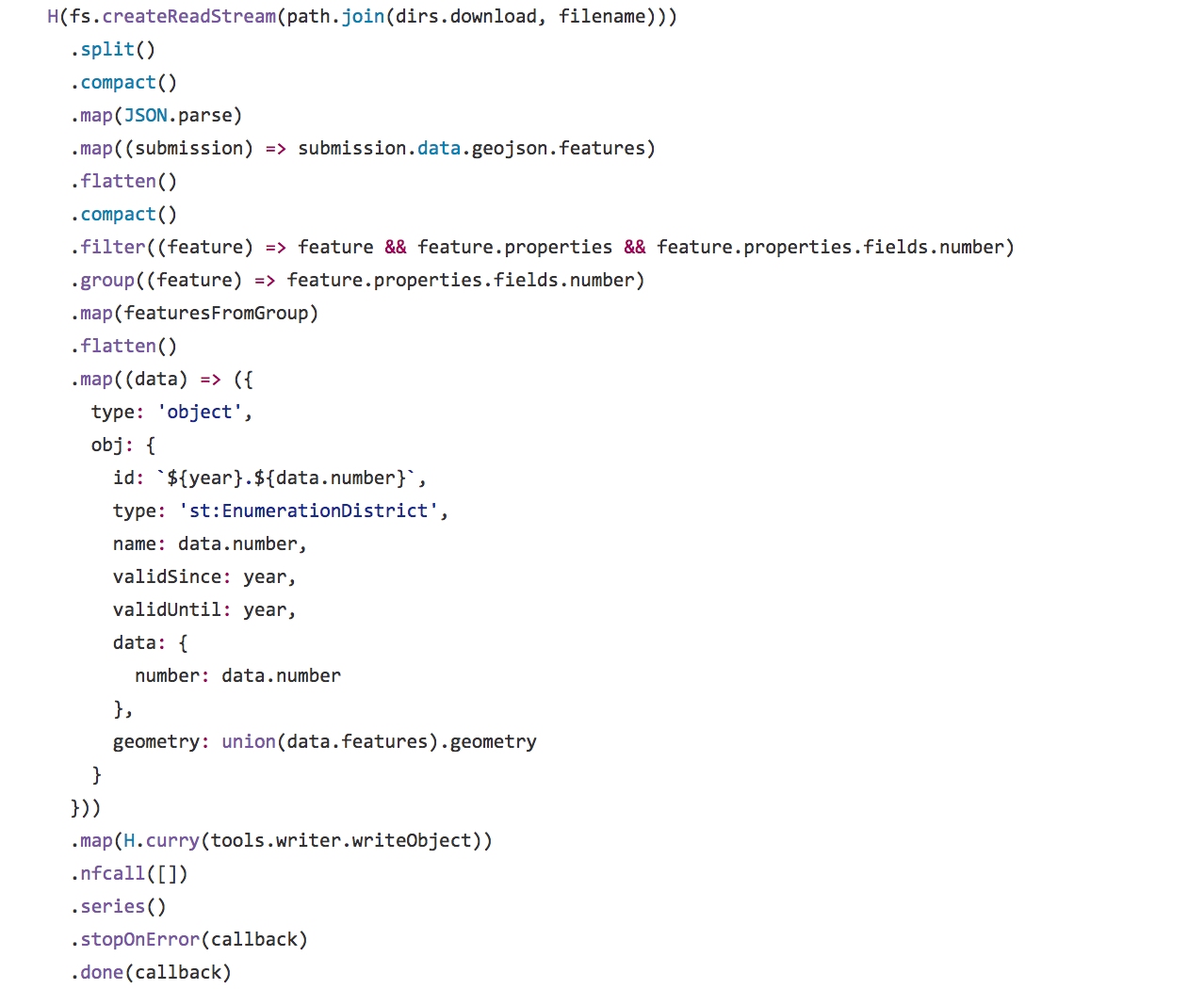
JAVASCRIPT!
Thanks!