Open Source Time and Space
Or:
How to build a Space/Time Directory?
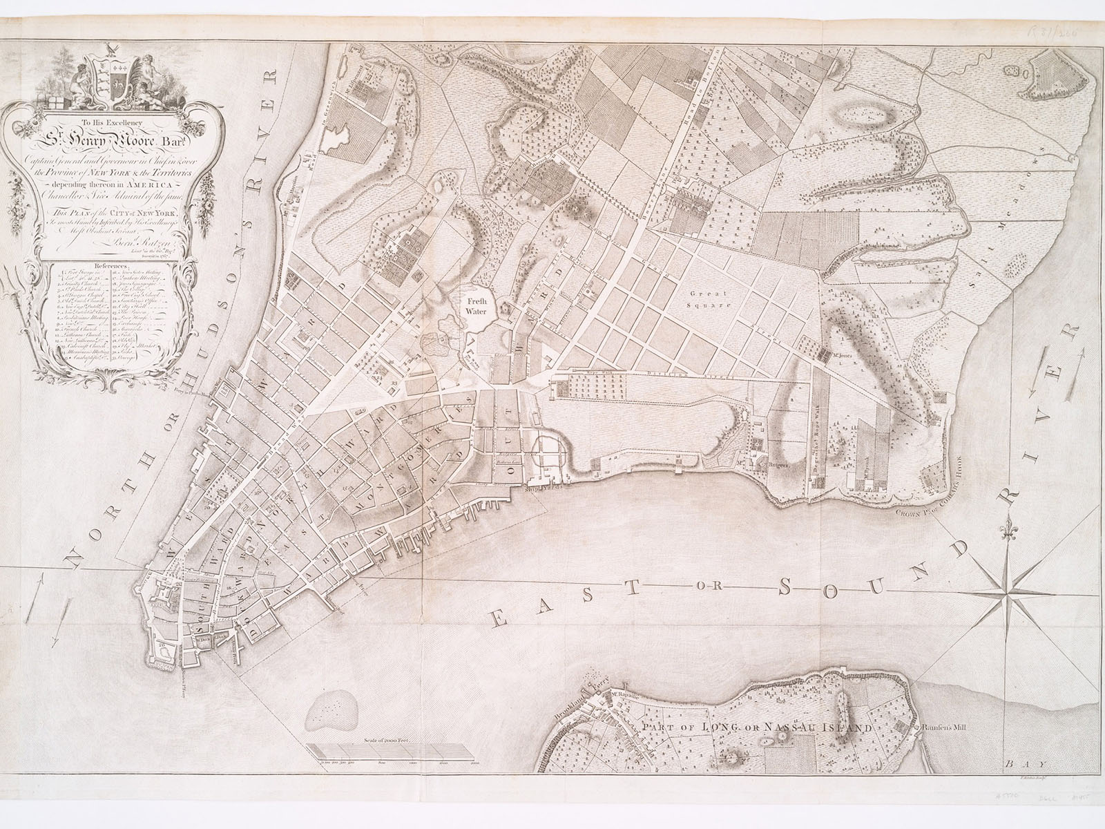
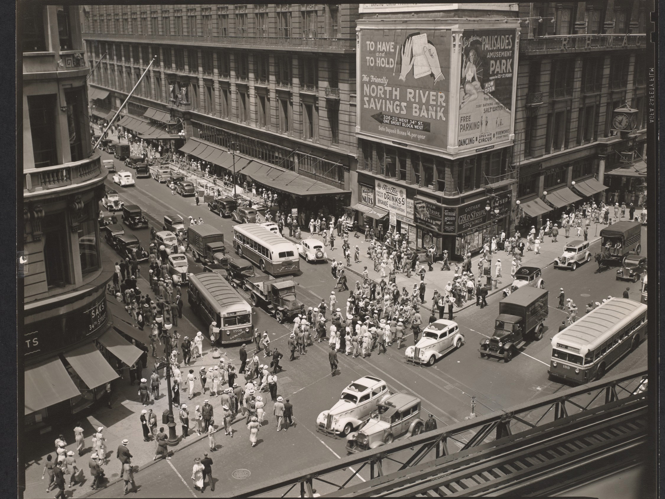
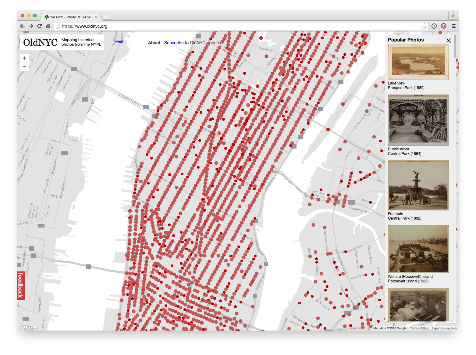
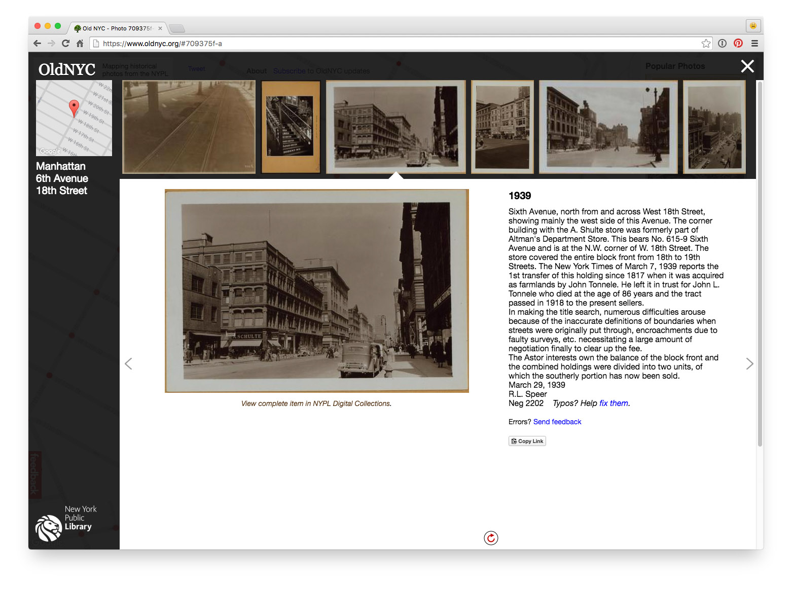
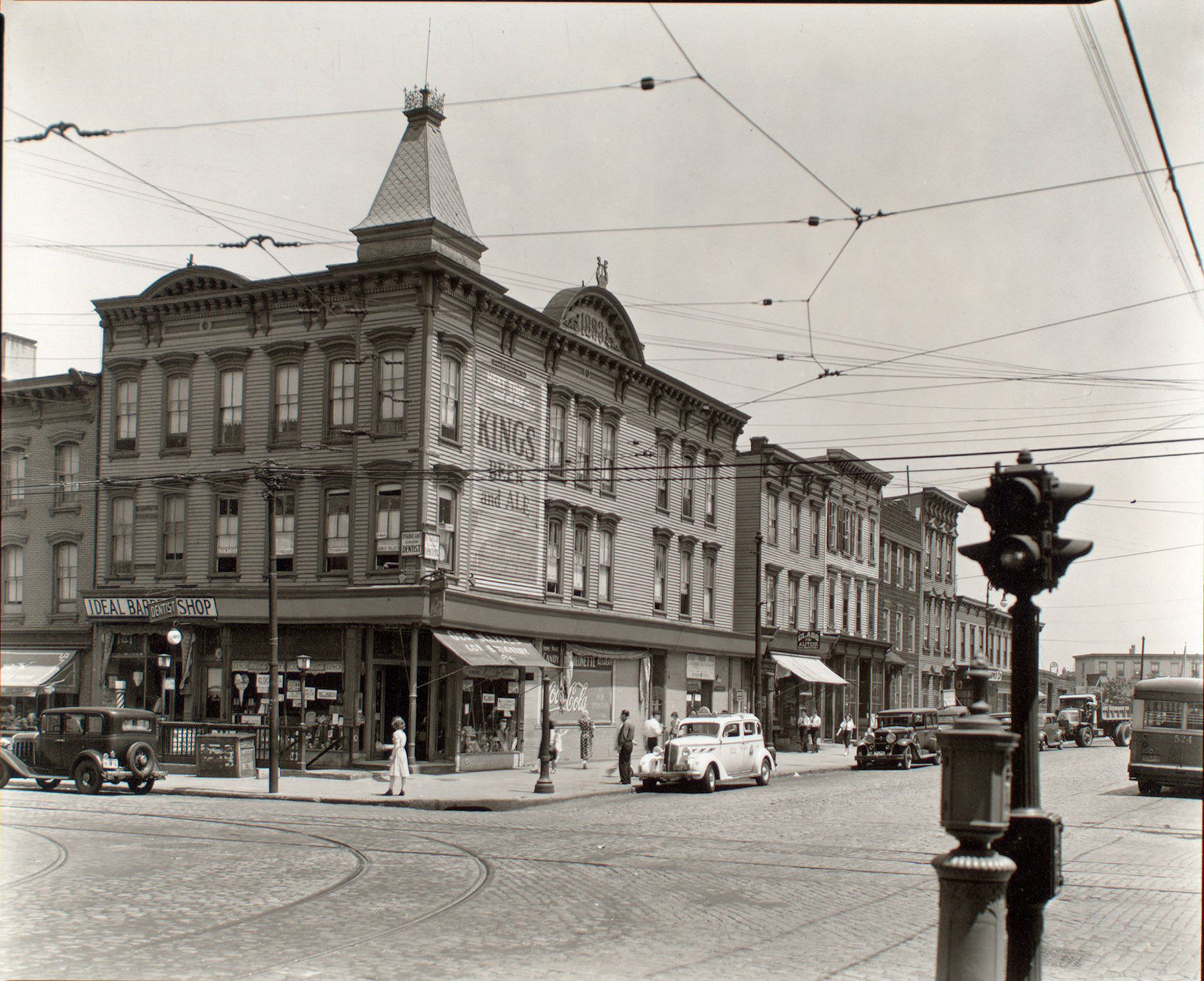
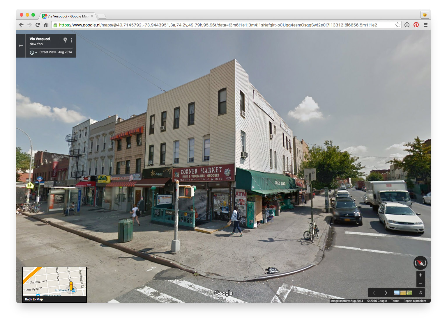
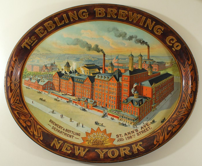
How did my street look in the 1920s?
On which cemetery are my ancestors buried?
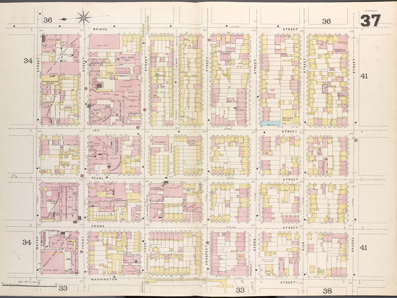
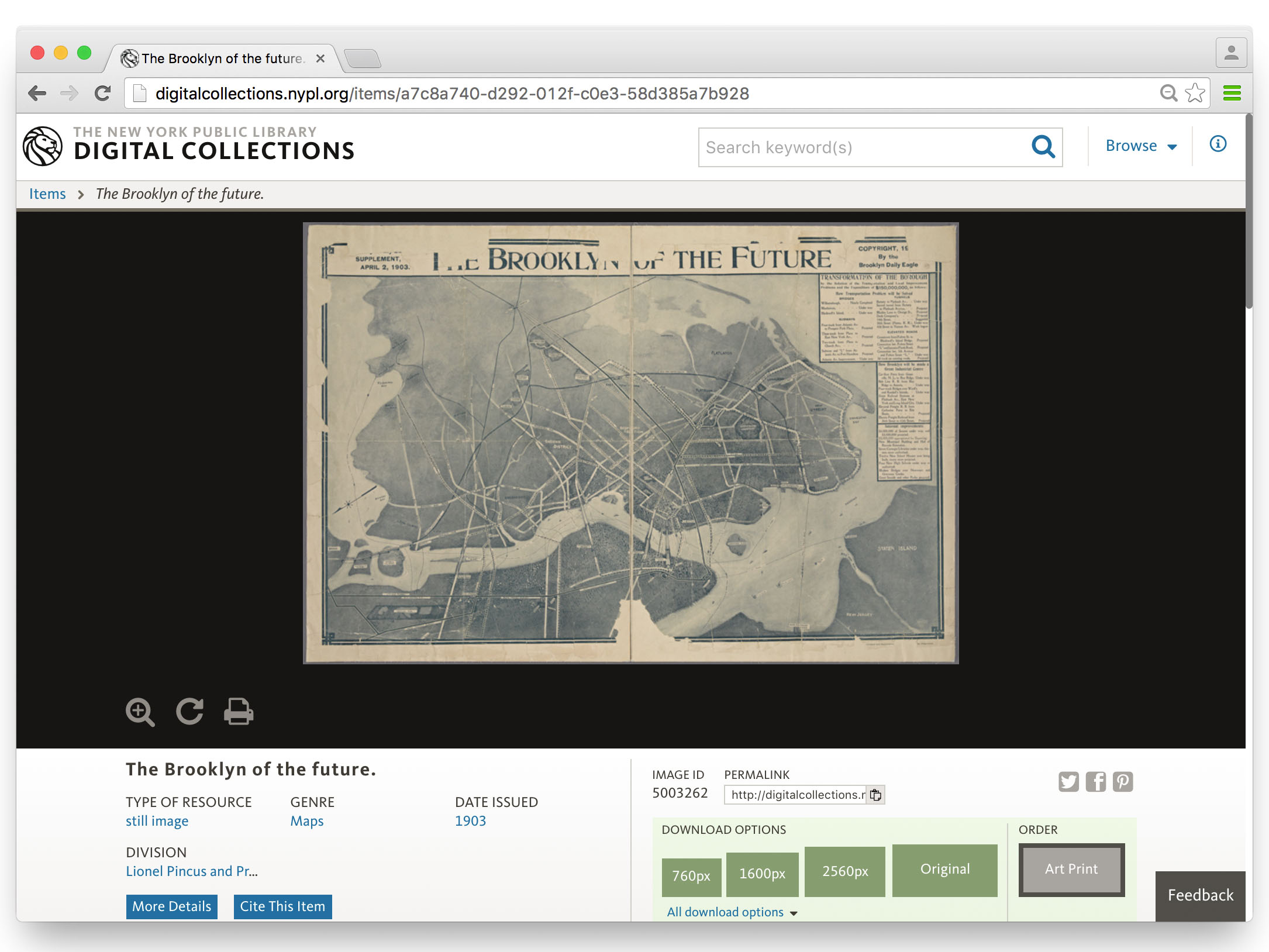
Do you have maps of my house around 1900?
Our search engine:
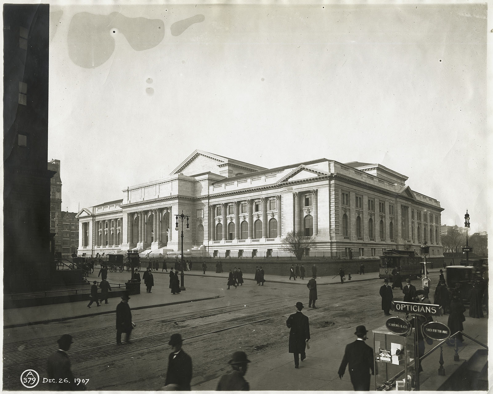
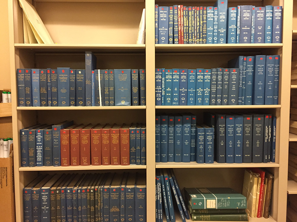
The NYPL has the materials (and librarians!) you need to answer those questions - however, this is not so easy...
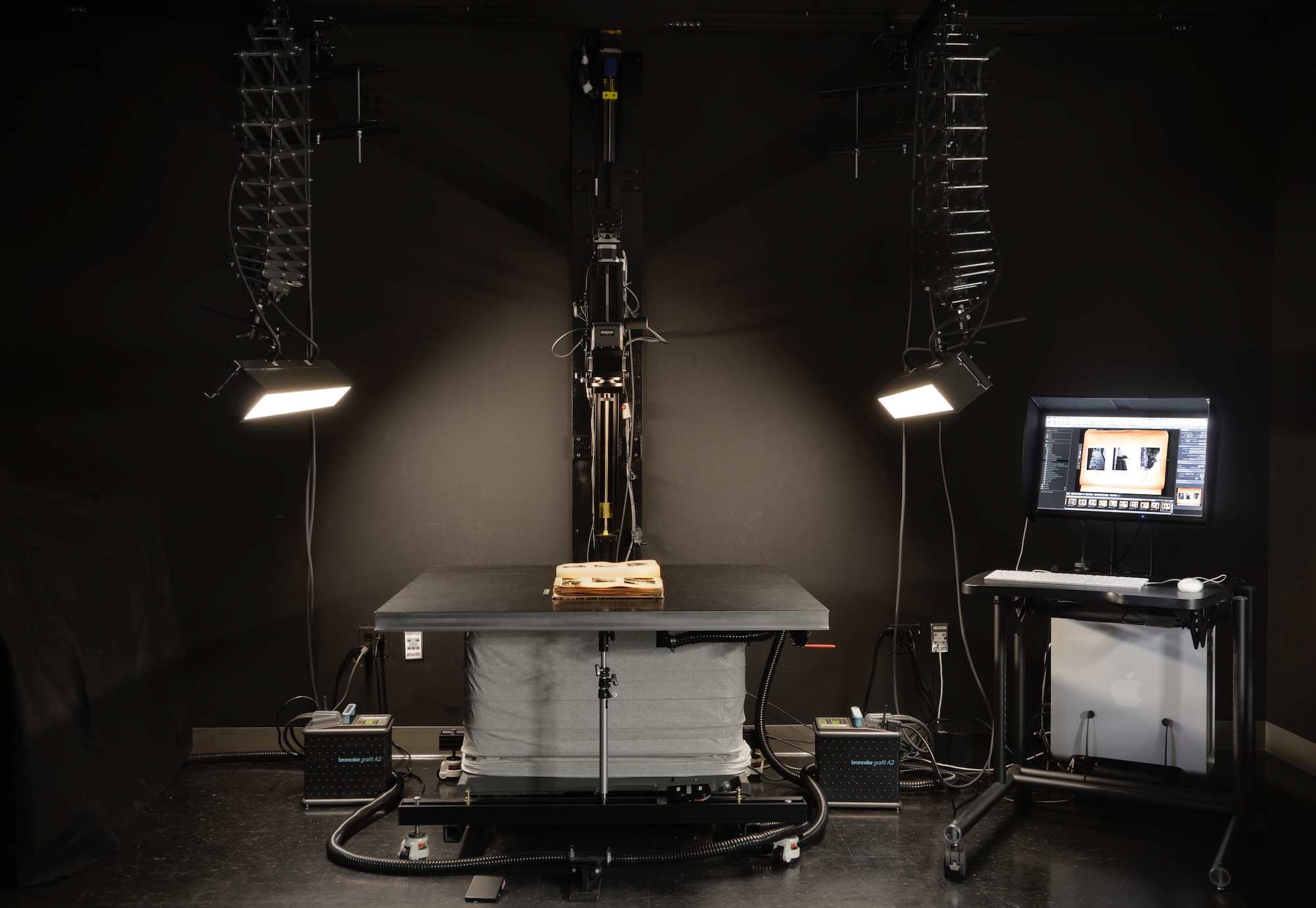
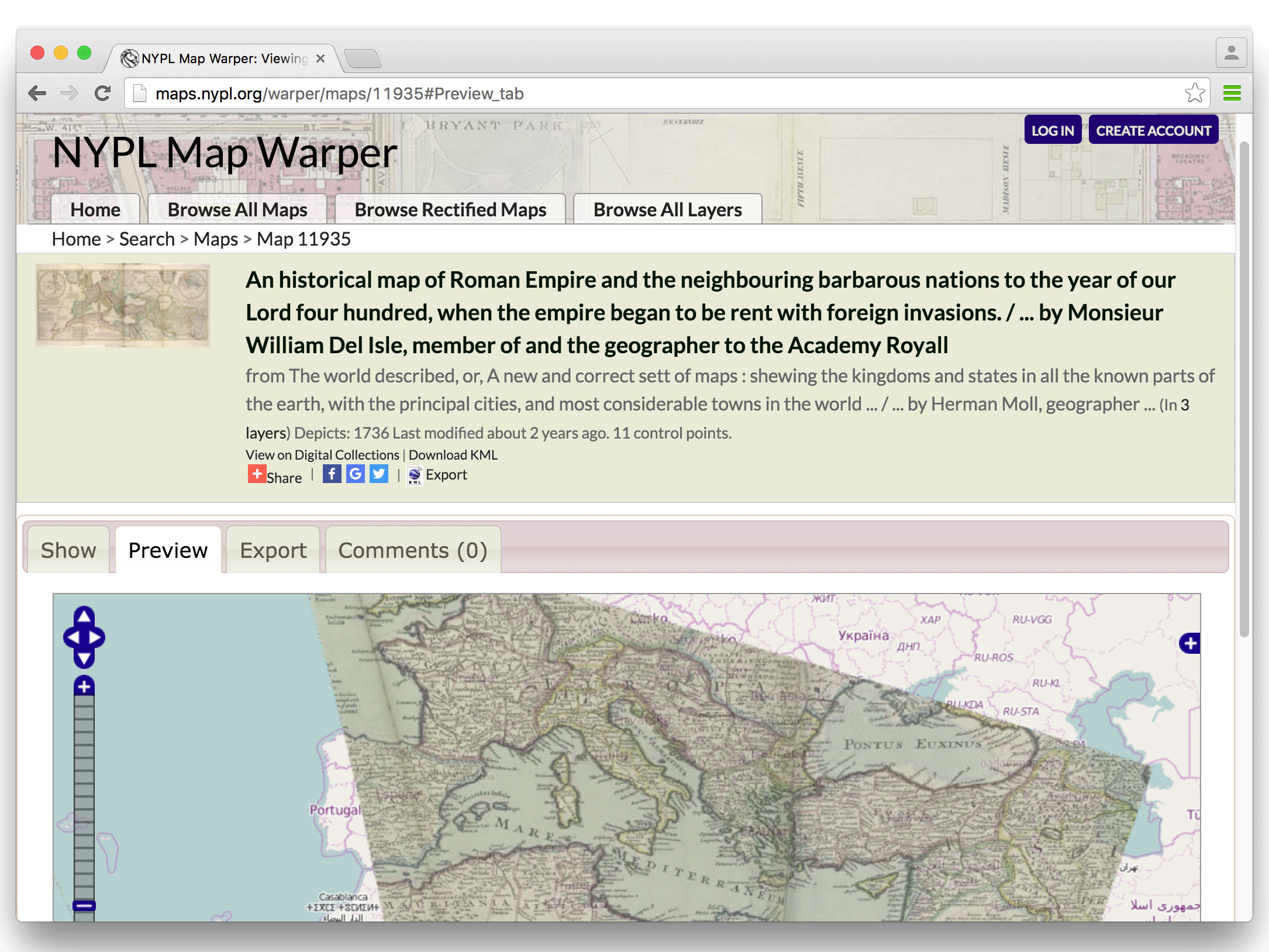
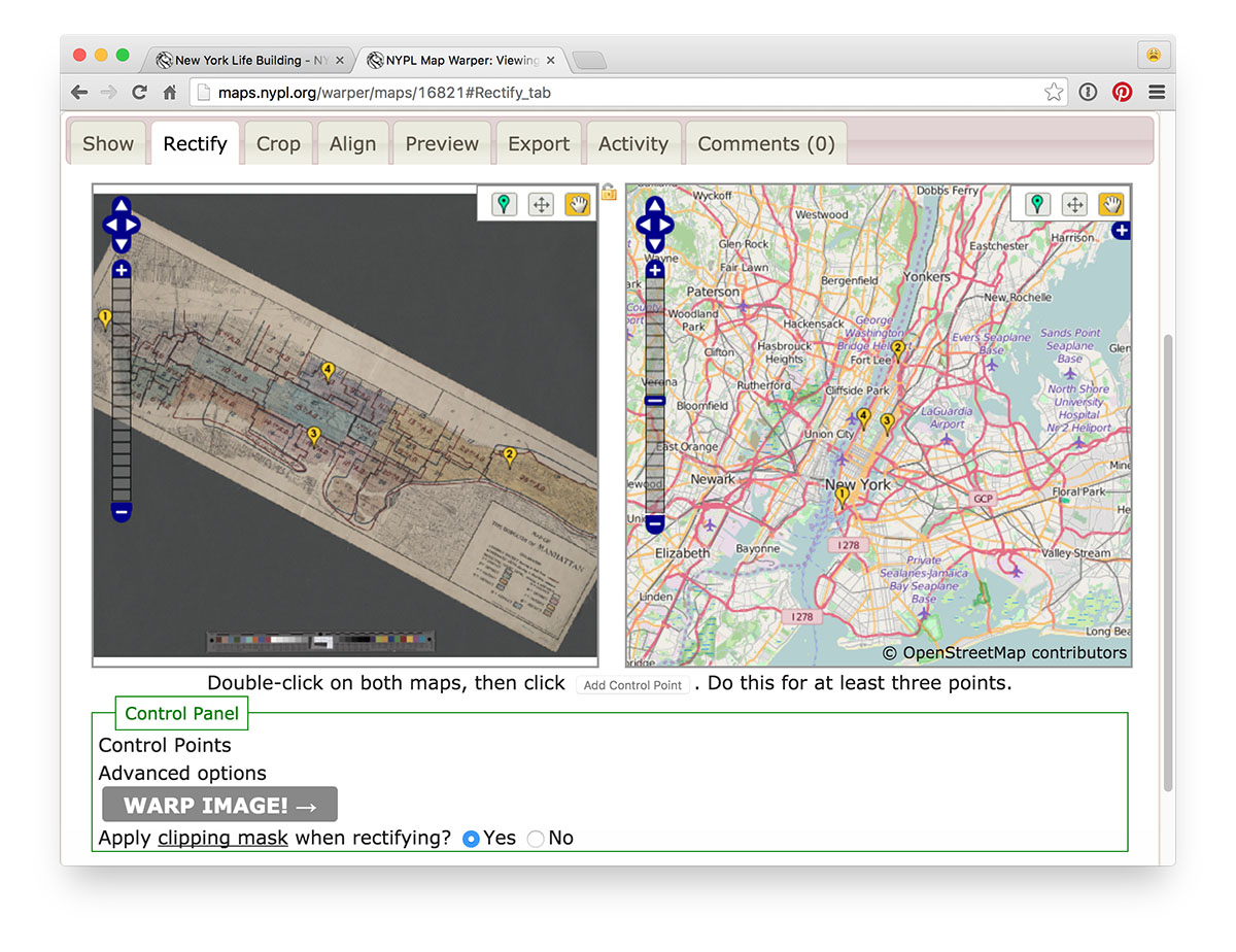
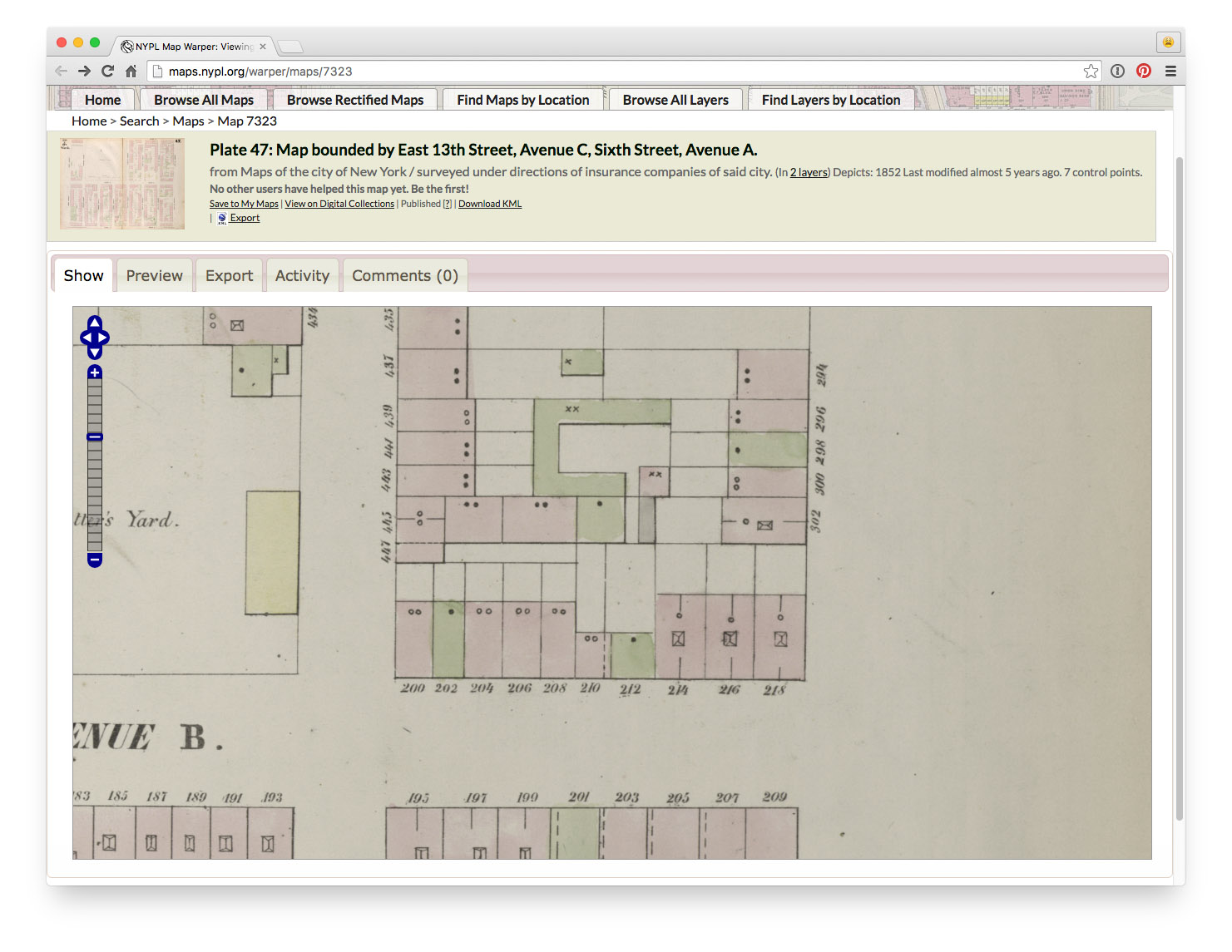
First step: digitization
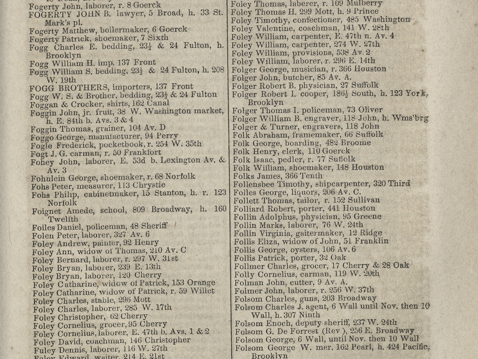
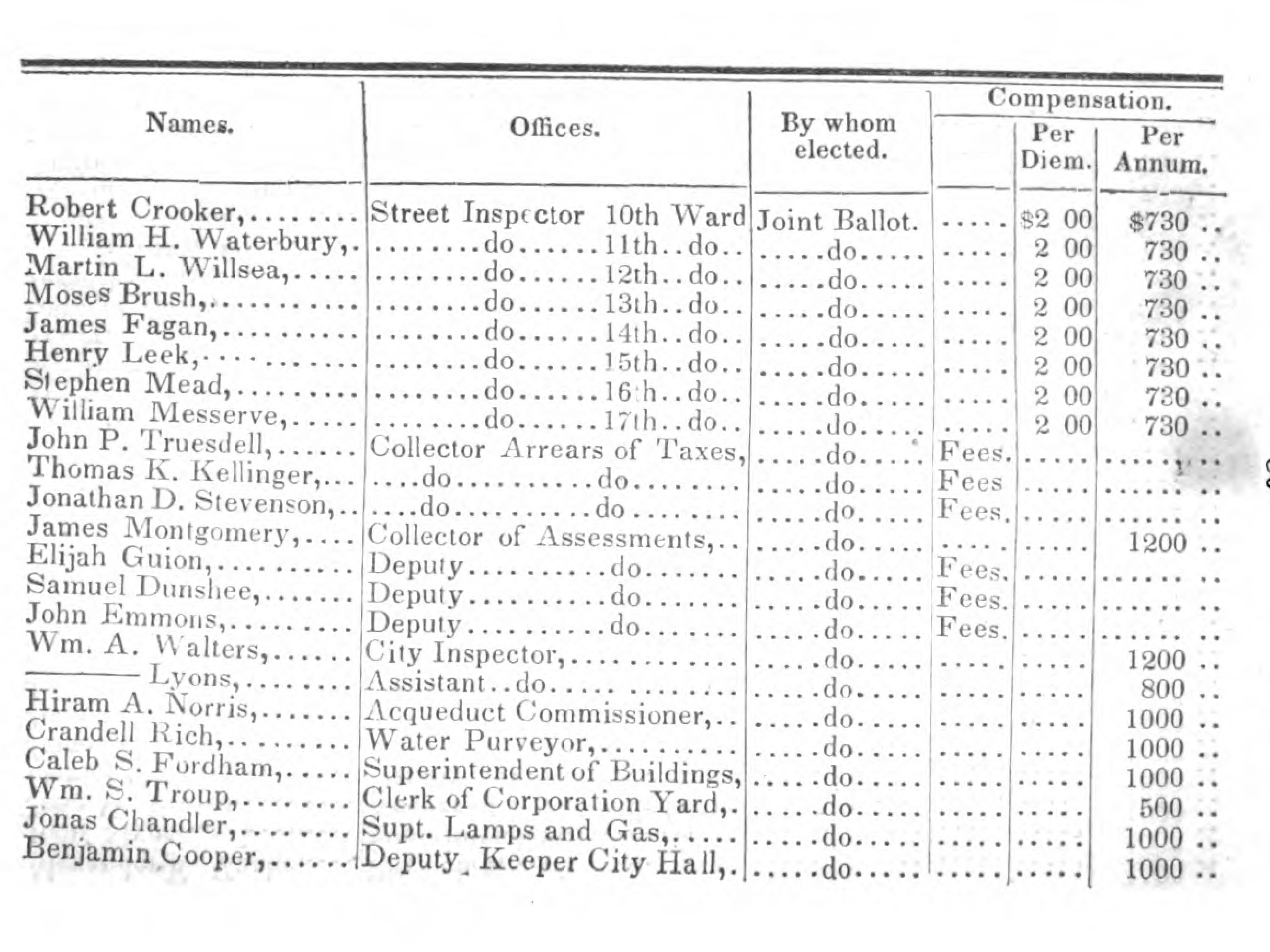
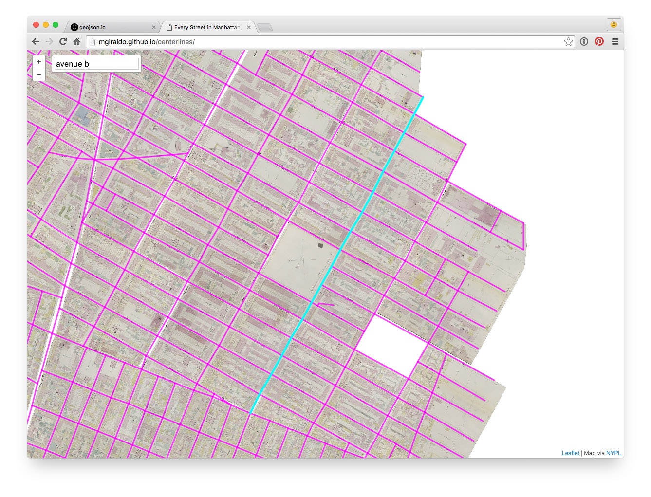
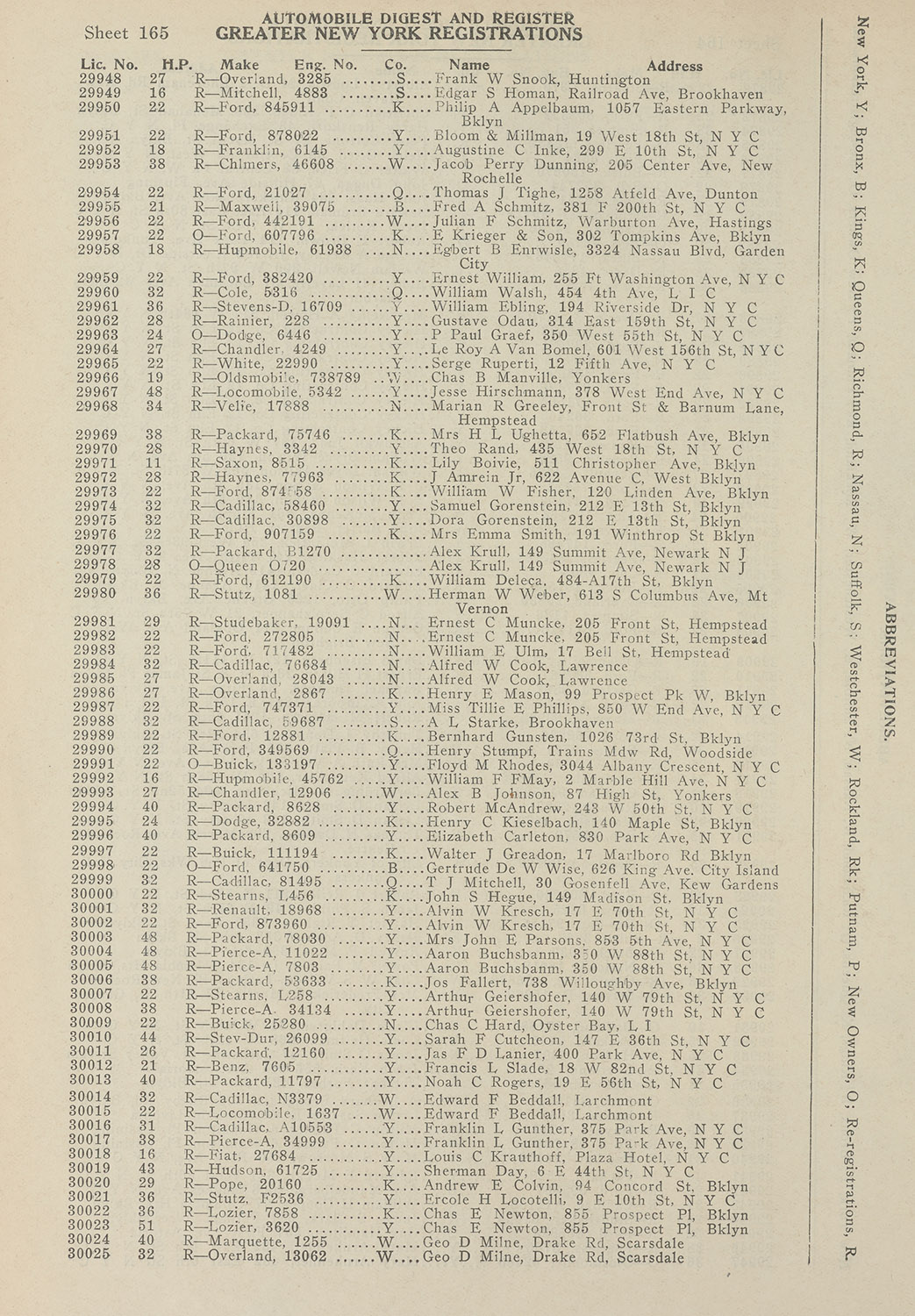
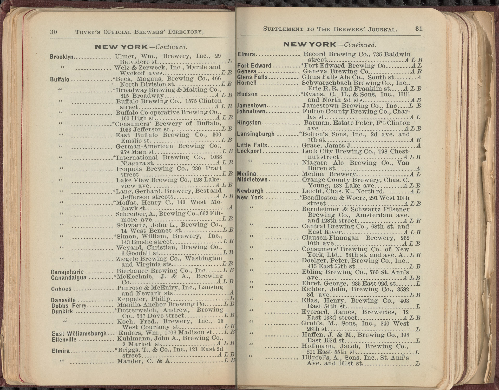
Next step: extracting data
Last step: bringing it all together
NYC Space/Time Directory
🏛🚀💾
Combine NYPL's collections and data — through space and time!
NYC Space/Time Directory = NYPL data + external datasets + databases +
APIs + search + geo + RDF + open source + digitization + crowdsourcing + community
Goals: open data, plain JSON files, for everyone to download
Goals: APIs, open source, search tools, user interfaces
Goals: tools that allow people to tell new stories about NYC's history
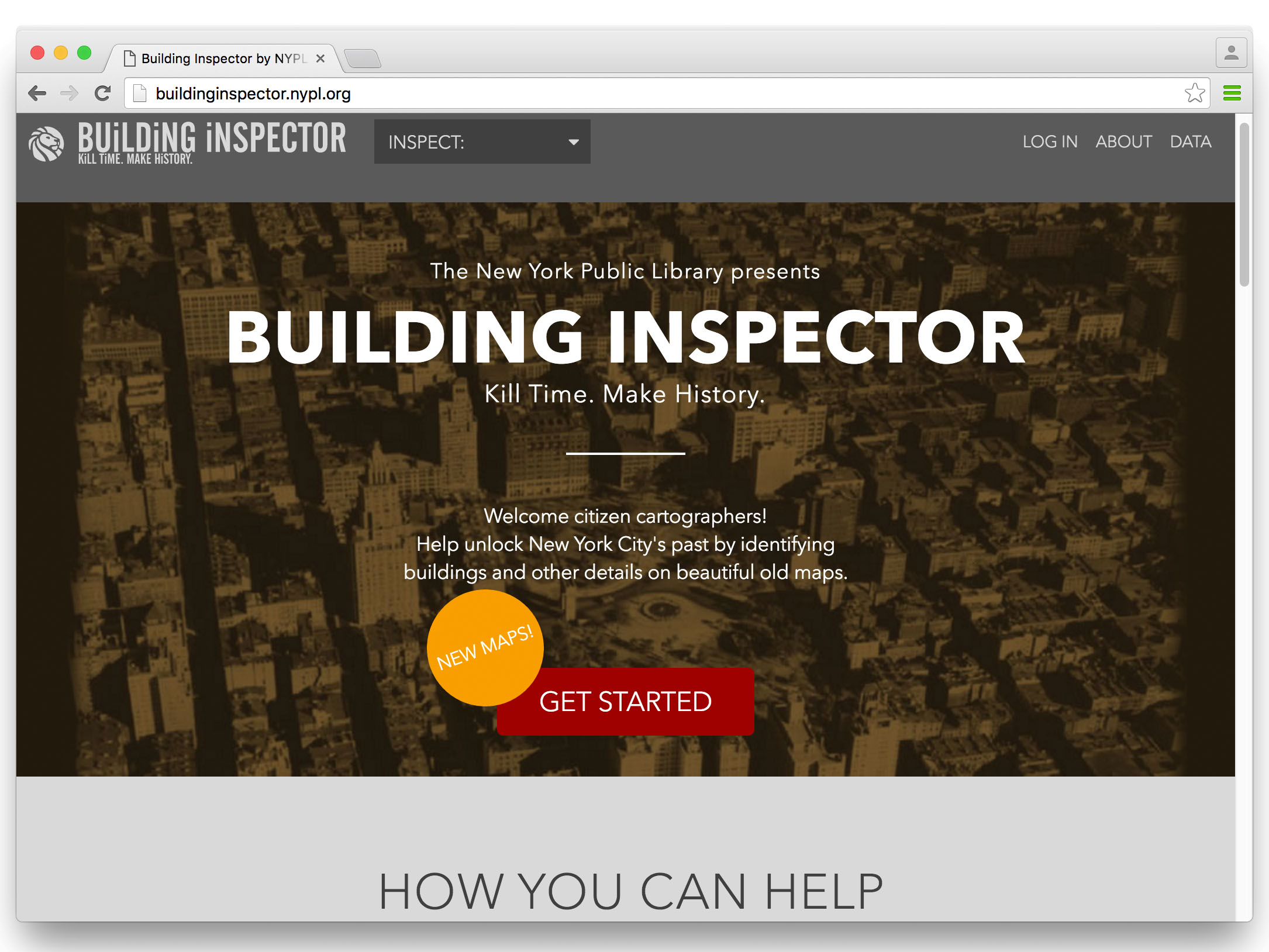
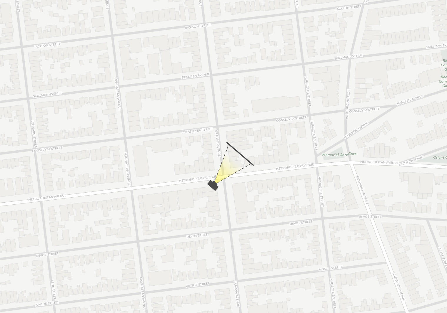
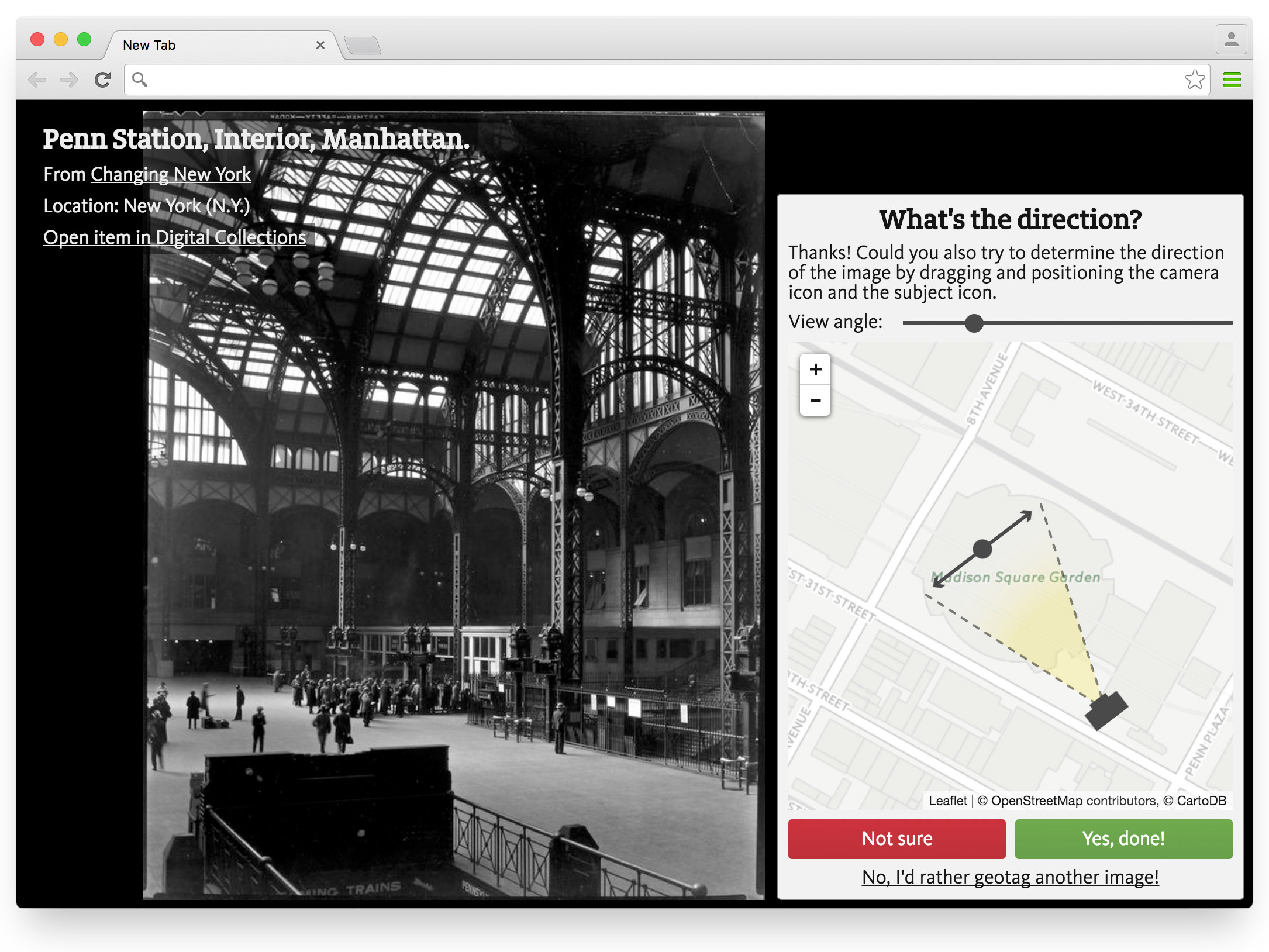
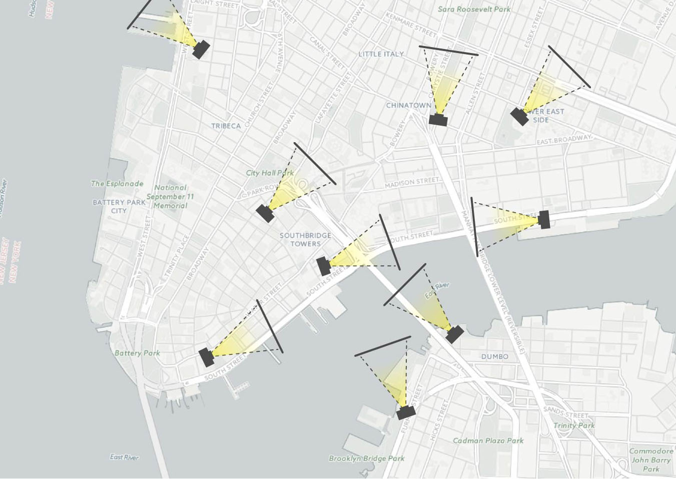
New crowdsourcing tools — geotag our collection
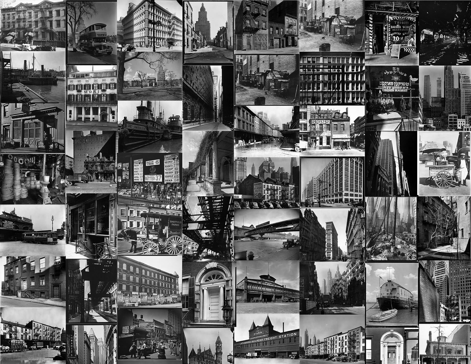
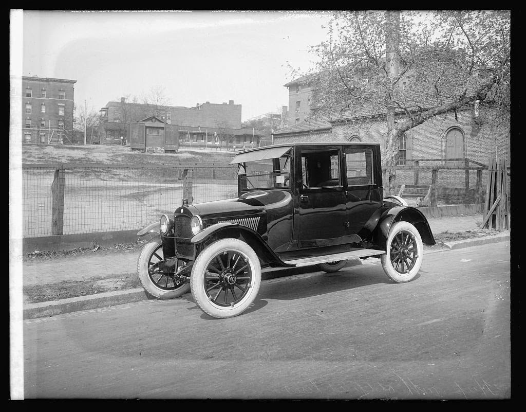
220,000 photos in Digital Collections, and new ones added every day
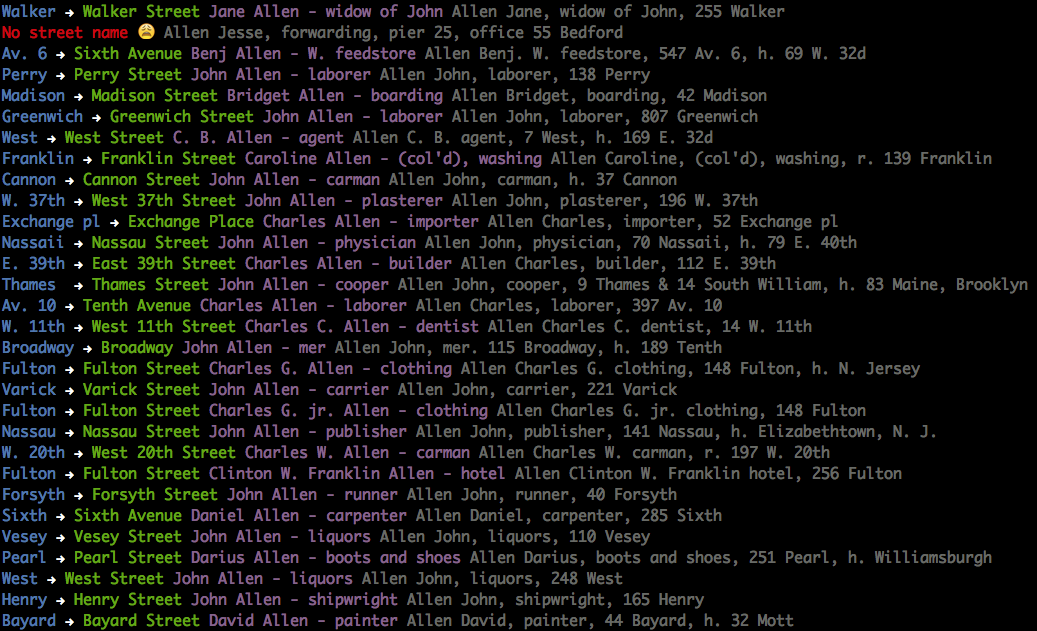
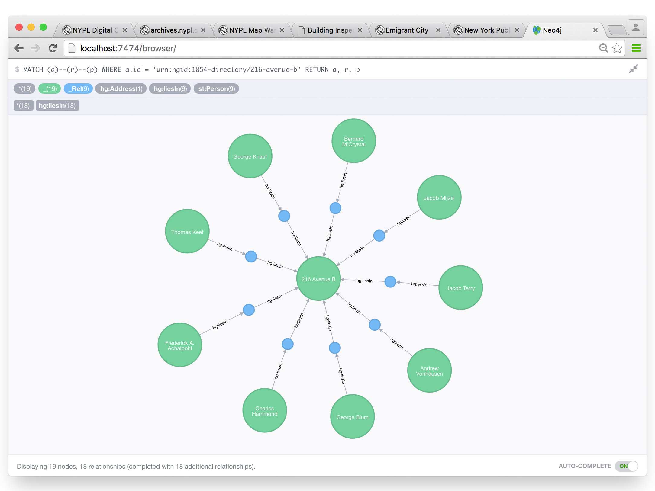
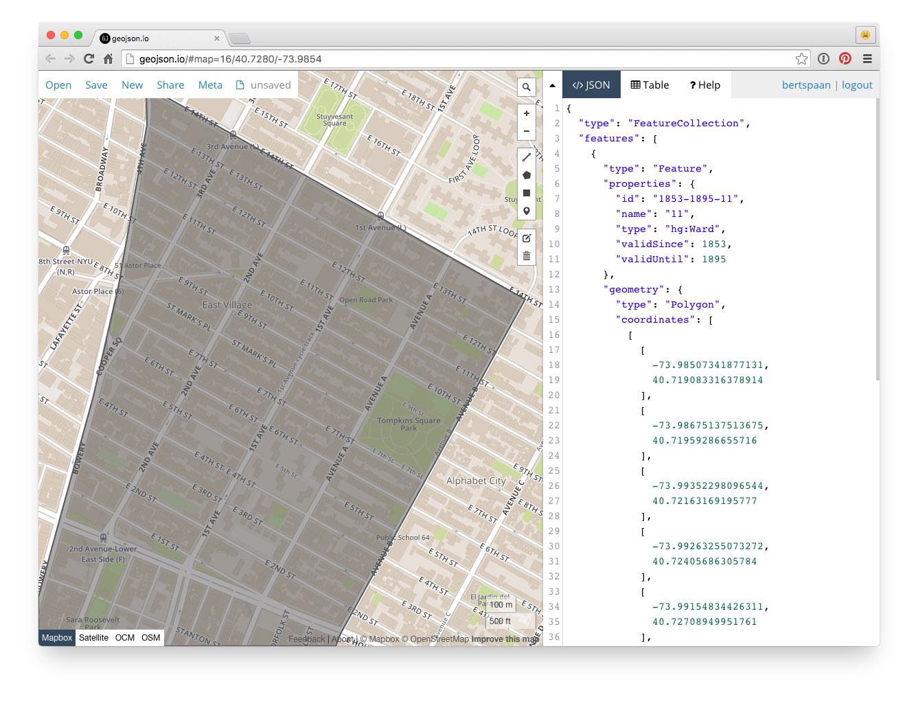
Example: who lived where in 1854?
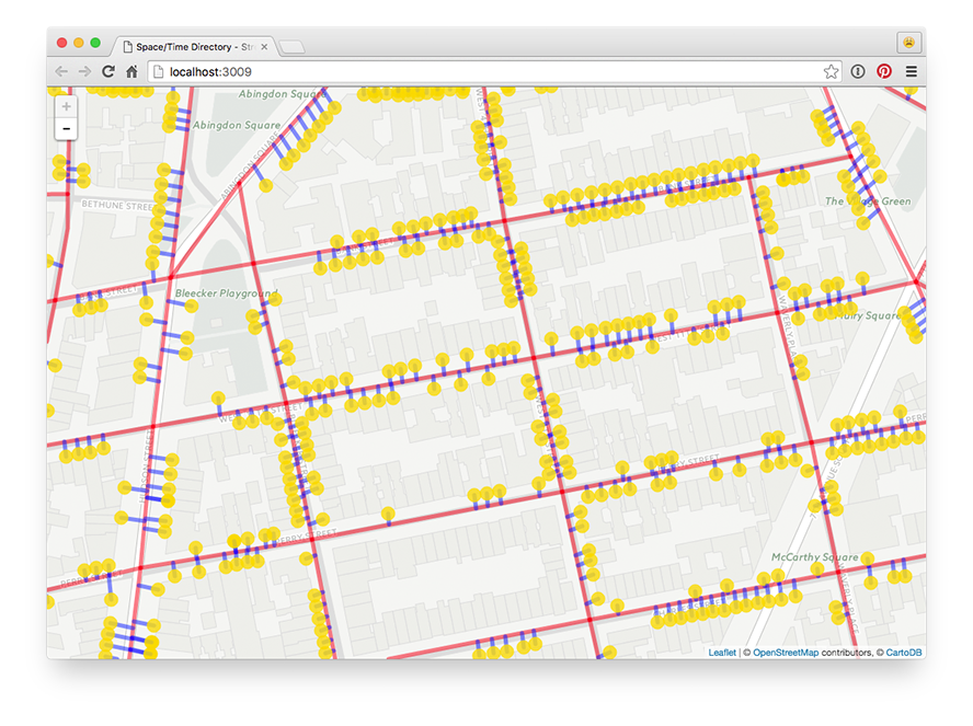
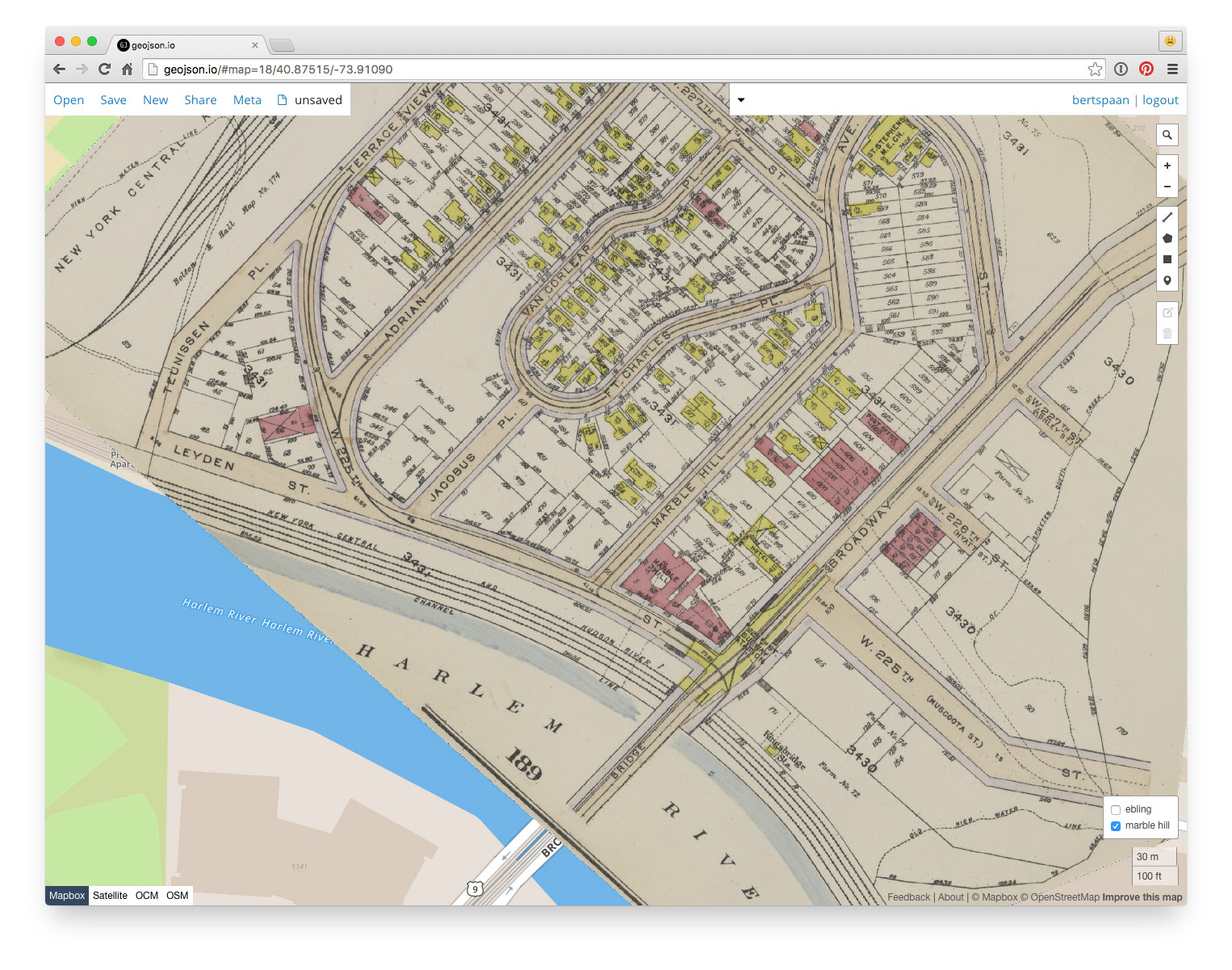
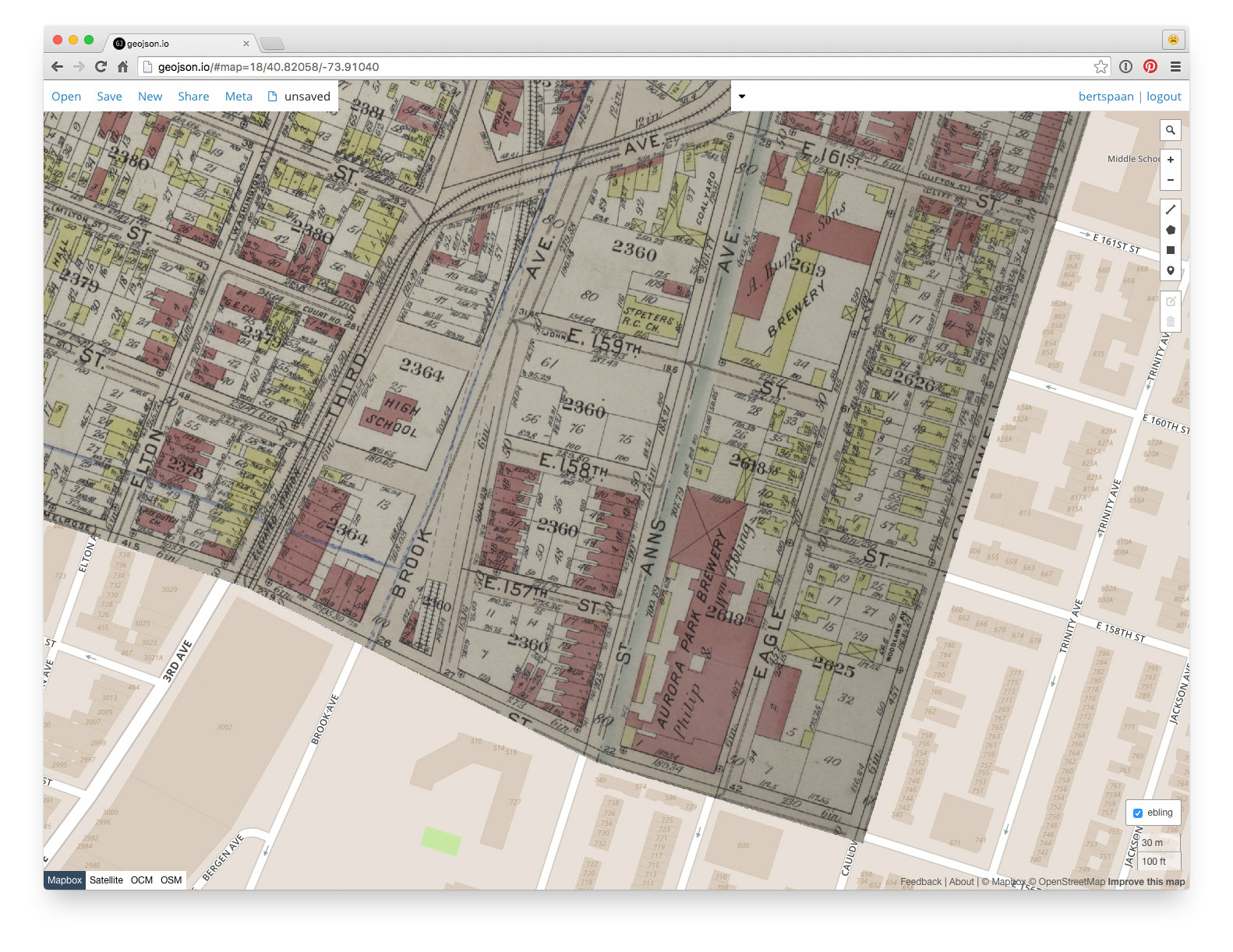
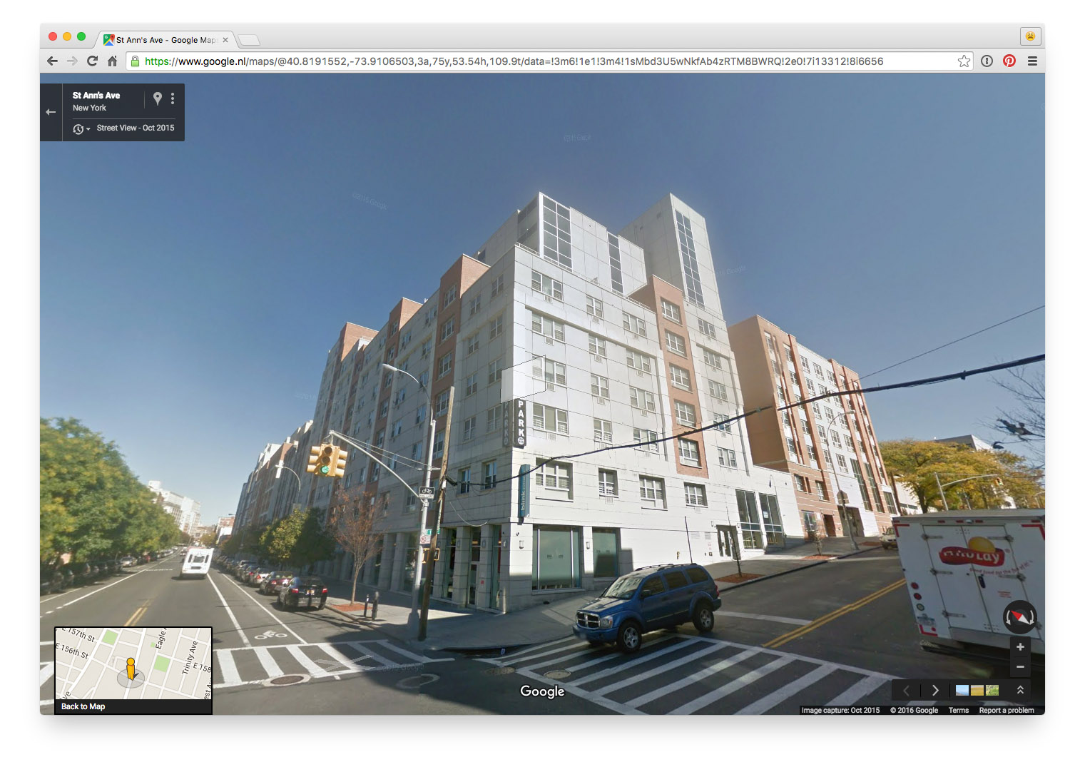
Georectified maps + Building Inspector +
OCR'd city directory = graph of addresses & people
One database with all NYPL Space/Time data
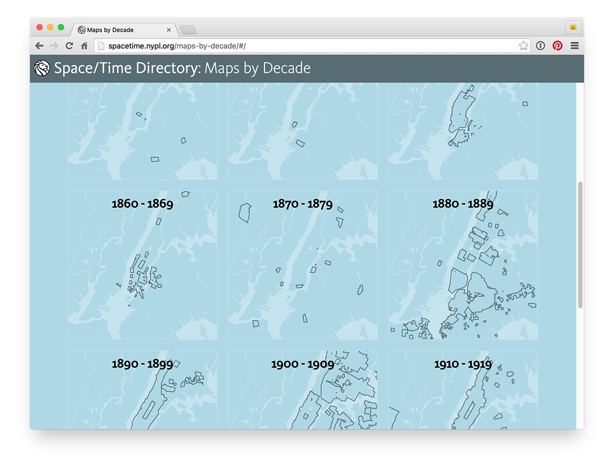
Example: maps by decade
More examples!
Soon: try machine learning to parse business directories, more
label + feature extraction from maps
Thanks!